It follows a stint of unseasonably warm weather.
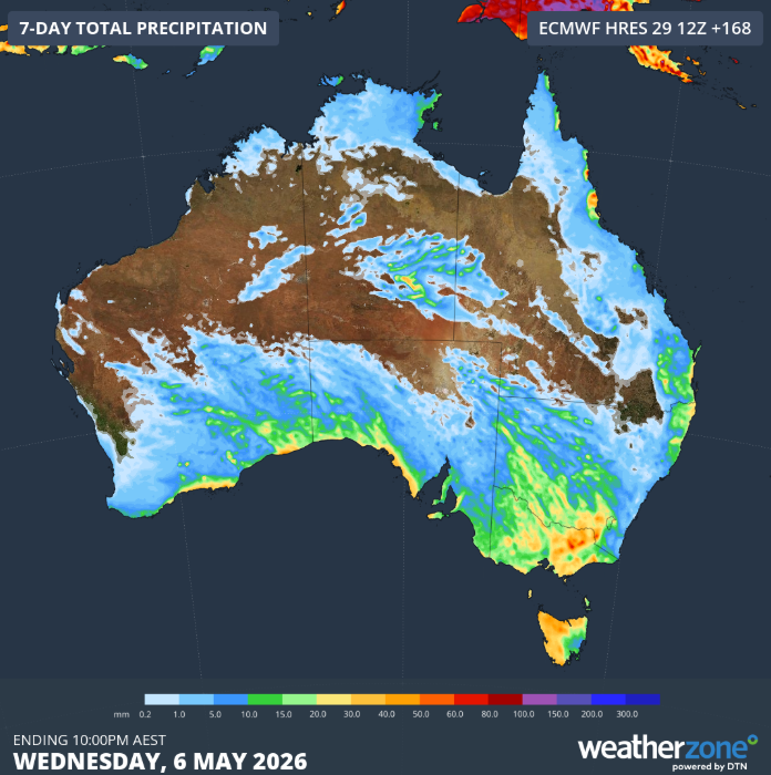
Rain, gusty winds and thunderstorms are set to roll across southern Australia to end the week, ending the recent run of warm, dry weather.
A low-pressure system is driving the change, sending a cold front and trough from west to east starting today.
Showers, thunderstorms, and strong winds are forecast to sweep across southern Australia as the front advances.
READ MORE: How much your supermarket spend has jumped in two years
Southern Western Australia is expected to experience these conditions from today, with South Australia following tomorrow.
Victoria, Tasmania, New South Wales, and the Australian Capital Territory are set for wet weather over the weekend.
Rain will spread across a wide stretch of the south, although totals will vary. Some areas could pick up 10 to 20mm, with isolated falls above 40mm possible, particularly where thunderstorms develop.
Winds are set to pick up ahead of the front, with strengthening northerlies giving way to cooler west to south-westerly winds as it passes through.
READ MORE: Search ramps up for Australian woman missing on Canada hiking trail
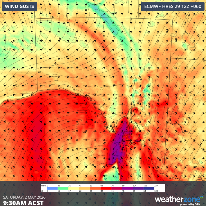
Damaging gusts are possible in parts of South Australia and western Victoria on Saturday, extending to elevated areas of eastern Victoria and south-east New South Wales on Sunday.
Temperatures are expected to ease by around 5 to 10 degrees across much of the south as the system moves through.
Adelaide is forecast to drop back to about 19 degrees on Sunday and Monday after reaching the high 20s earlier in the week.
Meanwhile, Melbourne is expected to ease from about 26 degrees on Friday to 22 degrees by Sunday, while Hobart will fall from the mid-20s to around 19 by Monday.
Canberra is also set to cool, slipping from the low 20s over the weekend to about 17 degrees by Tuesday.
NEVER MISS A STORY: Get your breaking news and exclusive stories first by following us across all platforms.
- Download the 9NEWS App here via Apple and Google Play
- Make 9News your preferred source on Google by ticking this box here
- Sign up to our breaking newsletter here
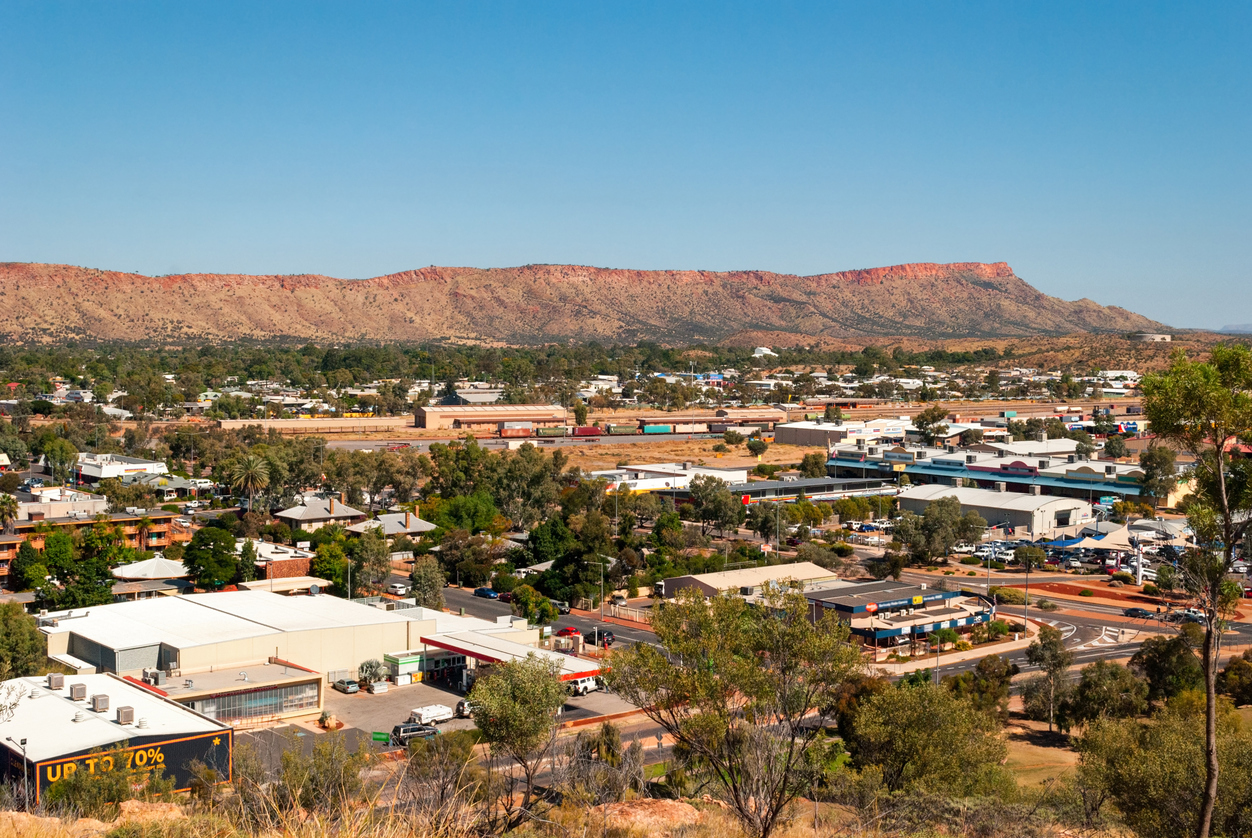
 Family of Kumanjayi Little Baby calls for calm to hold in Alice Springs
 Cleaner makes chilling discovery in air freshener in kids' bathroom
 'No place in hell' for father over fatal crash cover-up
 Contagious disease not seen in Australia for over 50 years detected
 'National disgrace': Jacinta Price reacts to death of five-year-old niece
 'Loophole' to close as alleged paramedic stabber in court
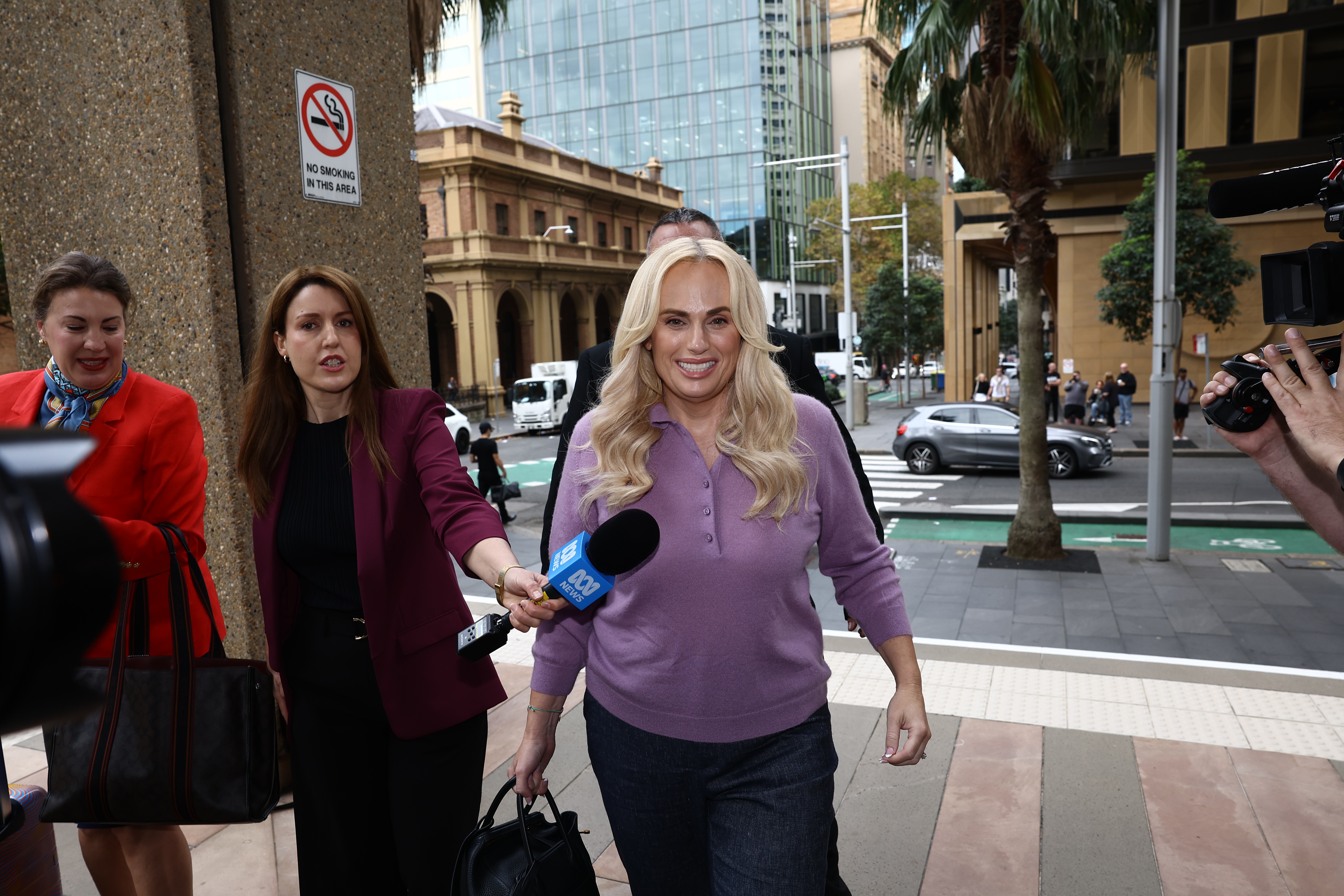 Producer stuck in 'tricky' position between Rebel Wilson and other boss
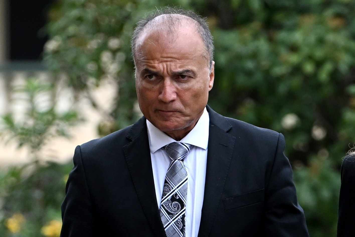 Partner of former Queensland premier charged with rape
 'Cannot recall': Indigenous commissioner's telling admission
 Trump's spat with European superpower intensifies
 US elections suspended so government can redraw the district lines
 Purported Jeffrey Epstein suicide note being kept hidden by court: report
 Surveillance footage shows gunman charging through officers at Trump event
 The 'archaic' rule forcing Australians with a disability to choose between 'love and survival'
 Rebel styles herself as 'truth-teller' amid film feud
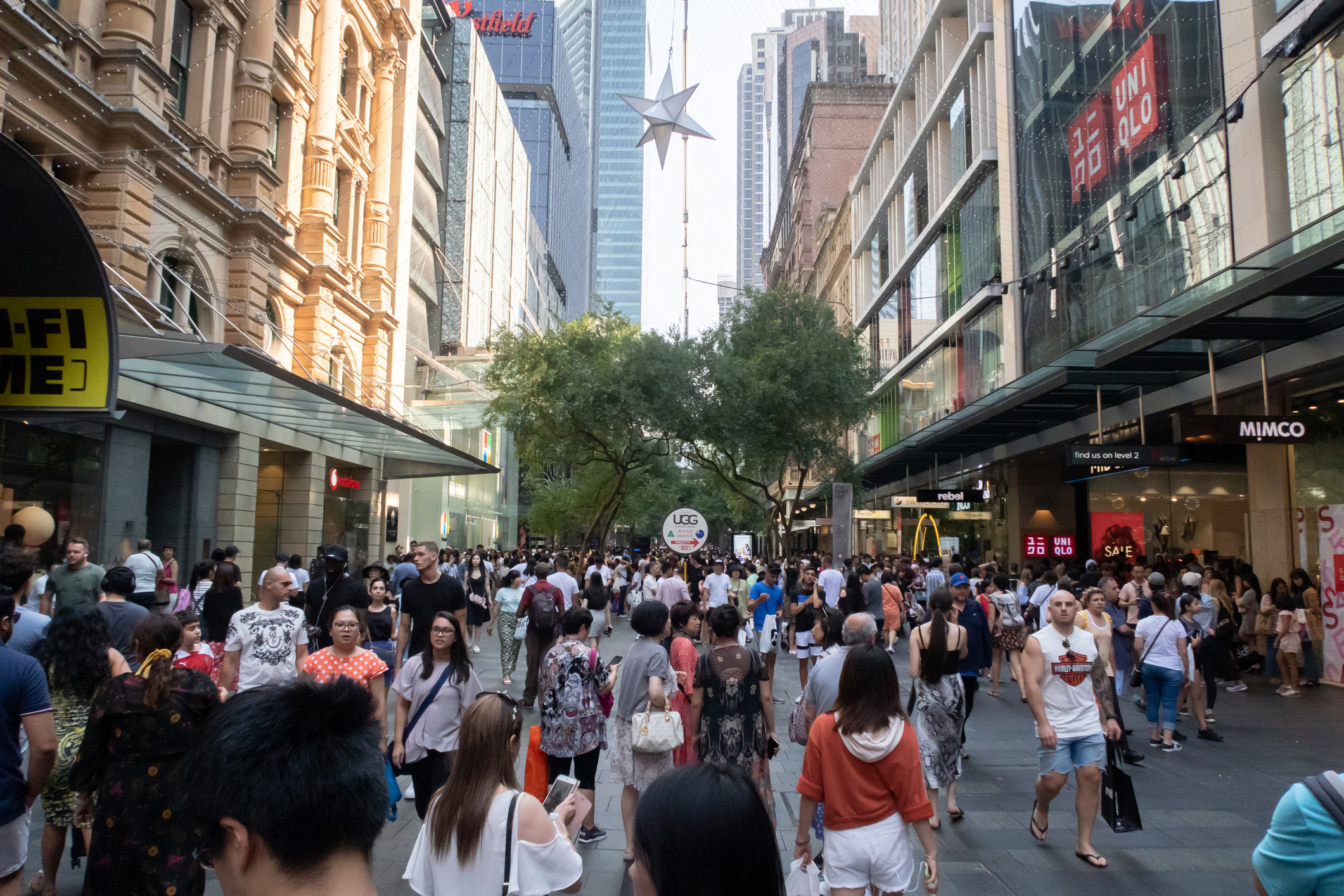 For the first time in history, England no longer supplies the most new Australians