Four states have broken May heat records, with one capital city smashing a 144-year-old record.
Three Australian states have broken May heat records, with one capital city smashing a 144-year-old record.
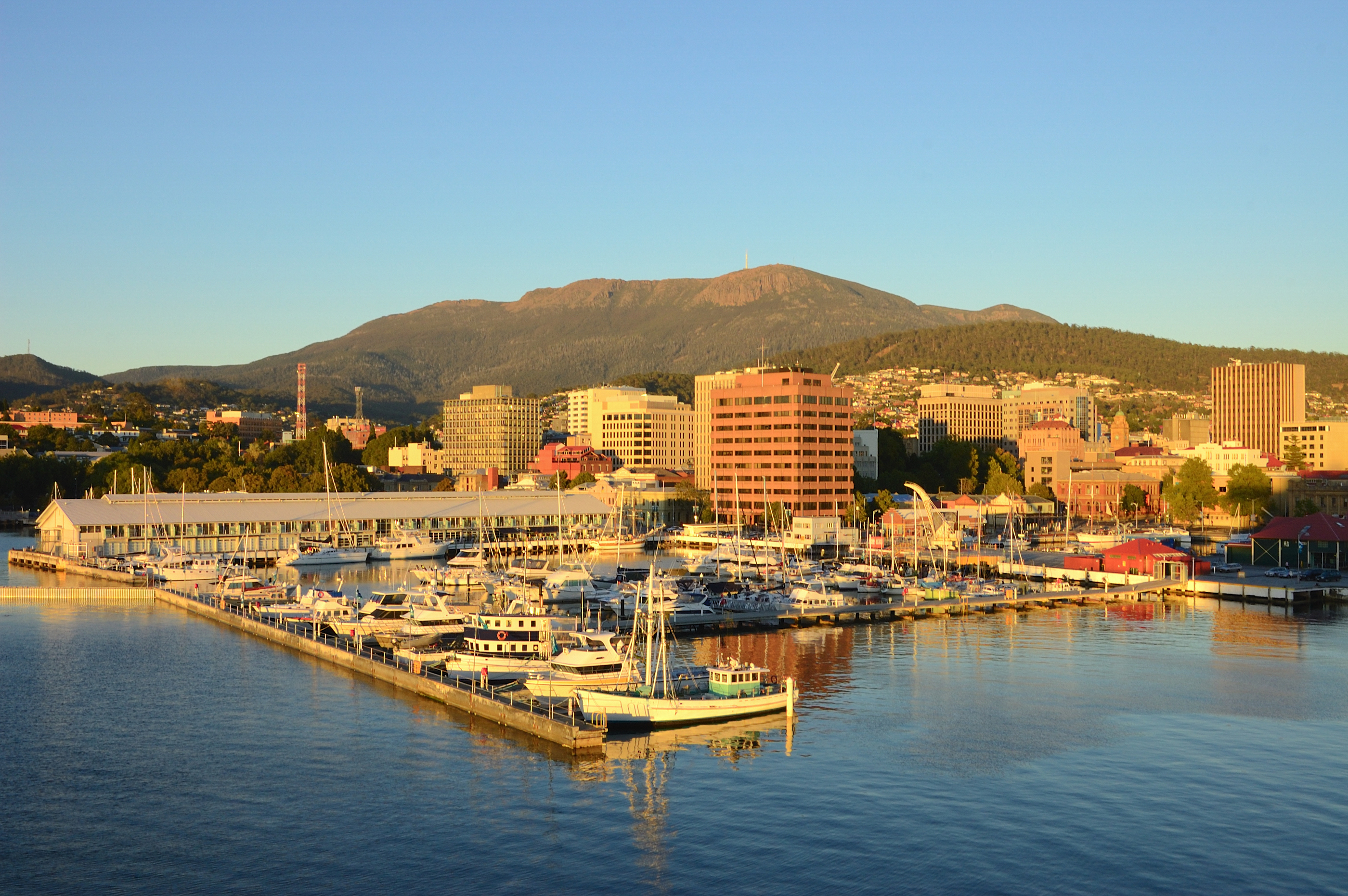
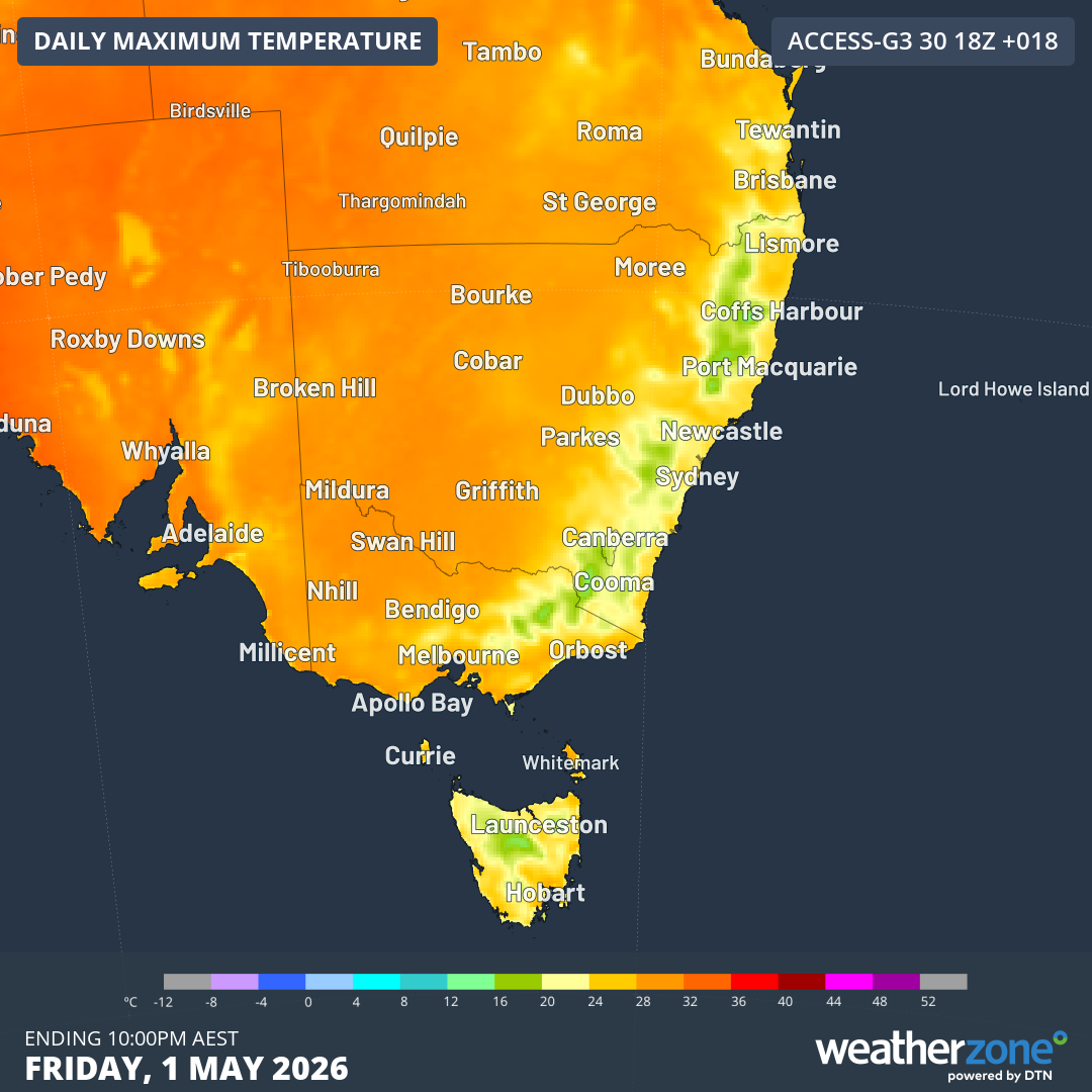
The Tasmanian capital of Hobart recorded its hottest ever May day yesterday, exceeding the previous record of 25.7 degrees, Weatherzone reports.
The city hit 26.9 degrees just after 3pm, more than 12 degrees above its average May maximum of 14.6 degrees.
READ MORE: Wet and windy start to May as storms sweep nation's south
Warm north-westerly winds contributed to other May records.
At least 20 weather stations in Victoria registered heat records on the same day.
This includes Avalon in Melbourne's western outskirts, which recorded 29.3 degrees at 1.02pm, exceeding the old record of 28 degrees.
READ MORE: The frightening thing Kim Jong-Un is praising his soldiers for
The city of Warrnambool in the state's south-west reached 28.3 degrees at 1.23pm.
May heat records were also broken in NSW.
Deniliquin in the western Riverina region hit 28.5 degrees yesterday, nudging just above the old record of 28.0 degrees.
Hay also exceeded its May record, hitting 29.2 degrees, beating the old record of 29.1 by a whisker.
Ivanhoe hit 29.5 degrees, beating the old record of 29.1 degrees.
Temperatures set to dip
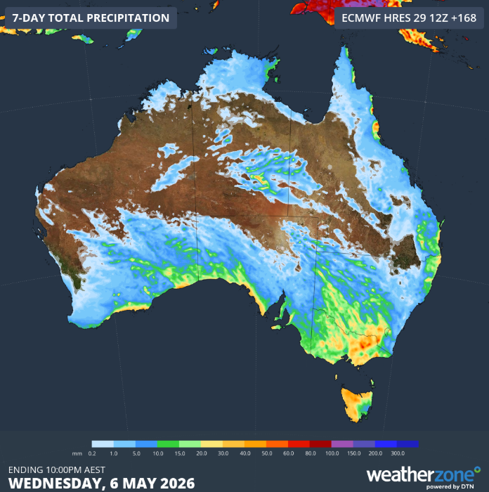
A low pressure system is set to bring rain, gusty winds and thunderstorms to parts of Australia until at least the middle of next week.
A cold front is set to slowly cross into Victoria late today and into tomorrow.
The low pressure system is then expected to move over Bass Strait or southern Victoria on Monday, with a cool south-westerly airstream in its wake, according to the Bureau of Meteorology.
READ MORE: How much your supermarket spend has jumped in two years

A cold front and associated trough will also move into NSW.
The system is set to cross the state between tomorrow and early next week, bringing unsettled weather to southern inland parts of the state.
Residents in the ACT can expect mostly cloudy days with the chance of a shower next week.
Isolated coastal showers will continue in Queensland at least Tuesday as a high pressure system extends over the state from a slow moving high near New Zealand.
South Australian residents can expect a cold front in multiple parts of the state, with isolated showers expected for the west coast district and southern agricultural area.
There will be showers over southern parts of Western Australia until at least Tuesday, along with the chance of a thunderstorm over the western Pilbara tomorrow.
A trough which has moved into the Northern Territory's south-west is expected to reach the Simpson District by this evening.
Off the back of warmer temperatures, showers are expected to fall in many parts of Tasmania until at least Tuesday.
NEVER MISS A STORY: Get your breaking news and exclusive stories first by following us across all platforms.
- Download the 9NEWS App here via Apple and Google Play
- Make 9News your preferred source on Google by ticking this box here
- Sign up to our breaking newsletter here
 New US warning over Strait of Hormuz 'tollbooth'
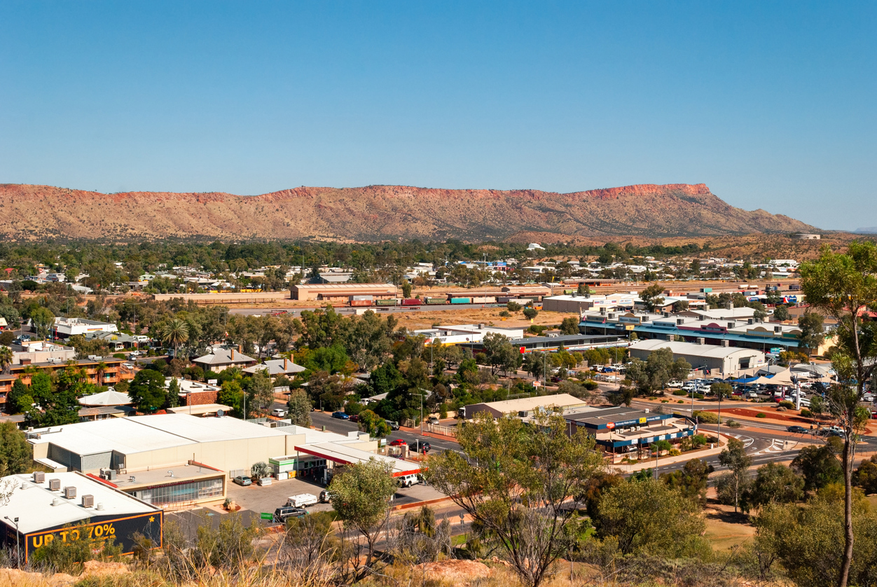
 Floral tributes grow as Alice Springs mourns five-year-old girl
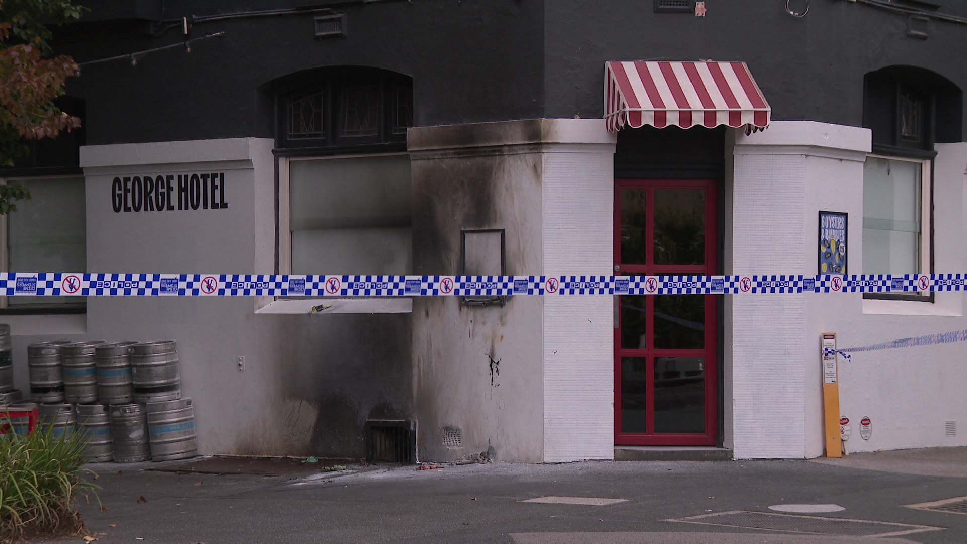 Publicans fear for people's lives amid continued Melbourne bar firebombings
 Court ruling prohibits a quarter of all abortions in the US
 Woman accused of setting police car on fire during Alice Springs riot
 US to withdraw 5000 troops from Germany, fulfilling Trump's threat
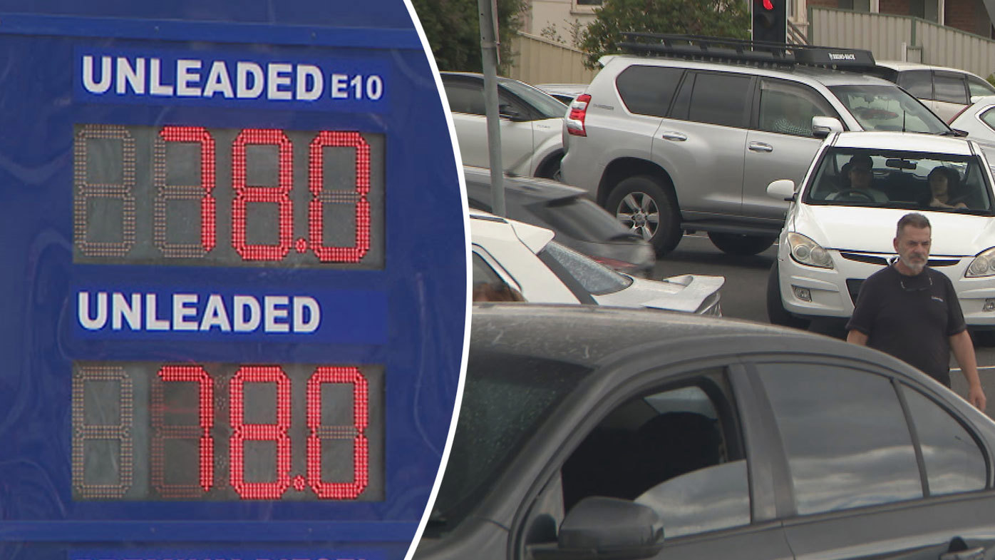 Frenzy as petrol price drops under 80 cents a litre at one service station
 Scammers attempt to extort Sydney removalist with sudden flurry of negative reviews
 Thousands of Aussies could lose popular $22 billion tax break in just 10 days
 Residents of seaside Victorian town braced for Macca's battle
 Wet and windy start to May as storms sweep nation's south
 'Cannot recall': Indigenous commissioner's telling admission
 Trump's spat with European superpower intensifies
 US elections suspended so government can redraw the district lines
 Purported Jeffrey Epstein suicide note being kept hidden by court: report