Four states could be in the firing line as a "bombing low" sweeps across Australia.
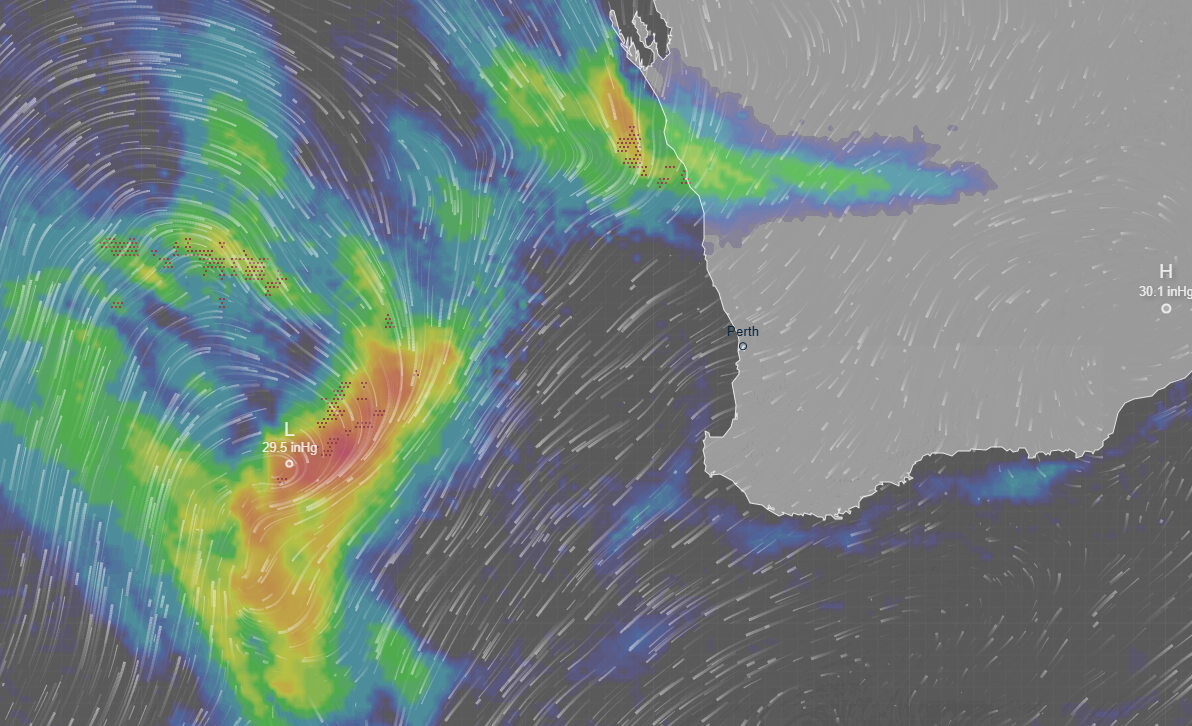
A once-in-five-year storm smashing Perth and Western Australia could sweep over the eastern states later this week.
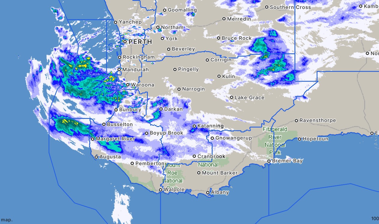
The western coastline has been battered by a low that has brought wind gusts of nearly 130km/h and 60mm of rain to parts of the state.
The Bureau of Meteorology (BoM) said Perth could face 30mm of rain and severe thunderstorms, with Perth Stadium being smashed by 12mm of rain in just 10 minutes overnight.
READ MORE: Man hit twice by car during alleged wild brawl on Melbourne footpath
The wind is expected to be at its peak about 7pm (AWST), with gusts potentially reaching 90km/h in Perth.
Weatherzone warns a massive swathe of the coastline from Lancelin to Albany is in the firing line for the huge wind gusts.
"Heavy showers, isolated thunderstorms and significant winds are expected to continue across the southwest, including Perth, with conditions likely to worsen this afternoon and evening as the low and its associated cold front move through," Weatherzone's Yoska Hernandez said.
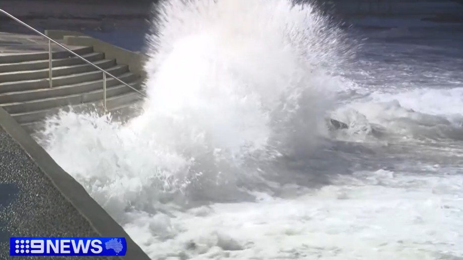
"Damaging surf may also cause coastal erosion and localised damage along exposed parts of the WA coast."
She also warned the rest of Australia could soon be in the path of the storm.
"The system will march east and bring a spell of wintry weather to SA, Victoria, Tasmania and NSW through the late this week, including strong to damaging winds, heavy showers, isolated thunderstorms and alpine snow," Hernandez said.
Locals prepare for barrage
The Lancelin Sands Hotel owner Glenn Trebilcock took matters into his own hands today, loading 25 tonnes of sand into bags.
"We'll basically crane them over the side and drop them down, put them in place," Trebilcock told 9News.
His hotel sits just metres from the ocean, along a stretch of coastline already scarred by erosion.
READ MORE: Monster fish caught off South Australia
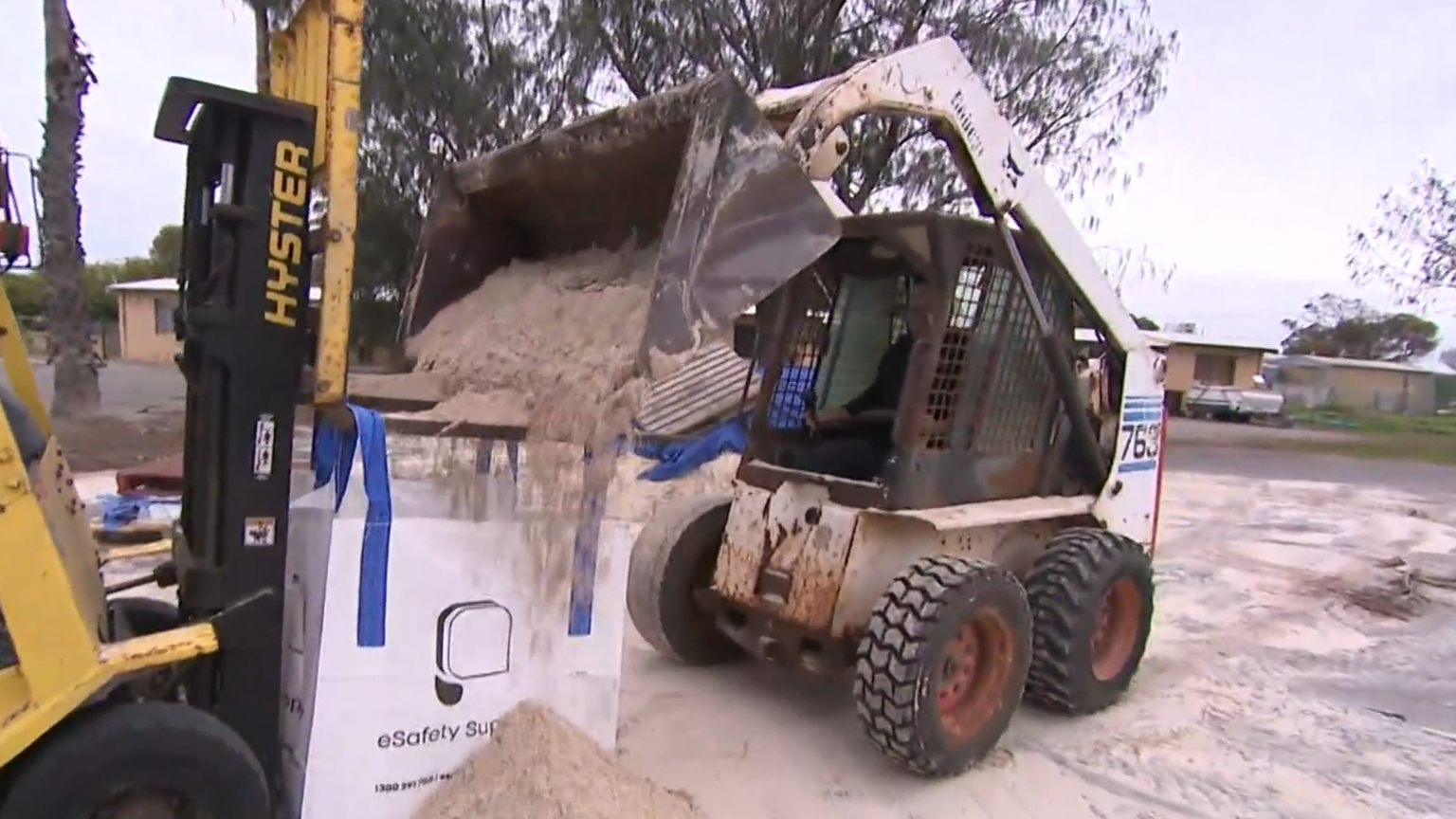
"We lost 35 metres last year and already so far this year we've come close to about 10 metres that we've lost," he said.
It's not just Lancelin on edge - coastal communities from Kalbarri to Esperance are bracing for huge swells and potential flooding as the storm bears down on WA.
The impacted area may expand over the weekend as it's an "evolving weather situation", according to the Bureau of Meteorology.
READ MORE: Man beaten and left for dead after asking partiers to turn down music
Across the state, operators are taking no chances over the forecasted conditions, with Rottnest ferry services cancelled today.
Several campgrounds have been closed but others are open and some campers are choosing to stay at their own risk.
Meteorologist Ilana Cherny said there will likely be a second burst of "very strong winds" with a risk of locally destructive gusts across Sunday evening into Monday morning for communities from Lancelin to Albany.
READ MORE: Professor Richard Scolyer's wife shares sad update
Severe thunderstorms could also develop through the central west and extending through to the lower west.
"In addition to those winds and rain which we could see with the thunderstorms, we may also see some very localised tornadoes, which if they develop would be very fast-moving and short-lived."
The message from authorities is to secure loose items, stay away from dangerous surf and check in on vulnerable neighbours as the system moves through.
 Man on the run after allegedly stabbing two people in Melbourne
 First home deposit scheme backfires as house prices tumble
 Trump to headline festival after artists drop out
 Man charged after wild brawl at Sydney soccer match
 Ebola cases begin to outpace response in Congo
 Aussie diver on 'pretty full on' operation to free villagers trapped in Laos cave
 Retiring police officer the target of man's car, court hears
 British family sold everything to move to Perth. They left within months
 Man charged after alleged arson attack destroys three homes
 Aussie goat meat exports skyrocket in record-breaking year
 Man beaten and left for dead after asking partiers to turn down music
 Rescuers free four men who had been trapped in a flooded Laos cave
 Vivid Sydney show scrapped for good after drone chaos
 Thieves ram ute into shopping centre, steal ATM in wild CCTV footage