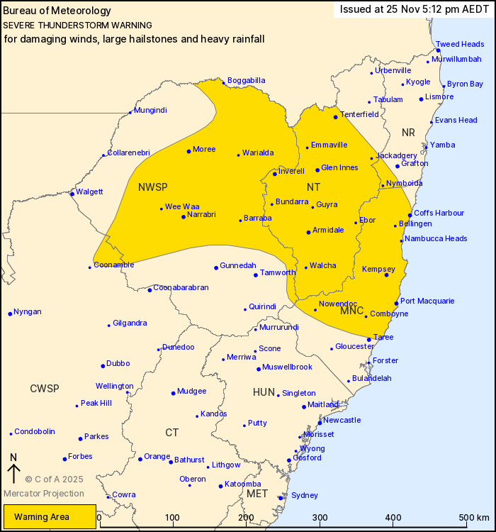
Warnings are in place after severe thunderstorms are set to hit parts of NSW that could produce damaging winds, large hailstones and heavy rainfall.
The Bureau of Meteorology has issued a severe thunderstorm warning to parts of NSW as weather conditions are set to produce damaging winds, large hailstones and heavy rainfall.
The warnings stretch across the Mid North Coast, Northern Tablelands and parts of Northern Rivers, North West Slopes and Plains and Central West Slopes and Plains forecast districts.
The heavy rainfall may lead to flash flooding in warning areas over the next several hours, with locations set to be affected including Coffs Harbour, Port Macquarie, Armidale, Moree, Tenterfield and Narrabri.
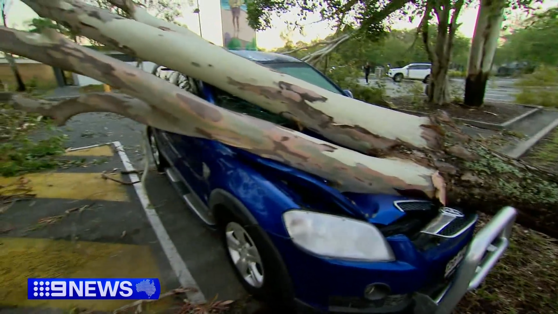
READ MORE: Tens of thousands still without power after 'supercell' hail sparked chaos
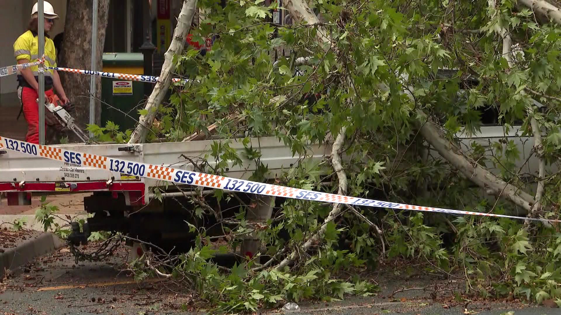
Tamworth residents described the winds as a mini tornado after the strong gusts destroyed trees and tangled roofing in power lines.
In the Hunter region, Muswellbrook was hit with gusts of up to 100km/h.
Tamworth Airport recorded winds as powerful as 124km/h.
The Bureau of Meteorology has said that a warm and humid airmass mixed with a trough and west to south-westerly change has resulted in the thunderstorm warnings for this afternoon and evening.
Locals are being urged to stay vigilant and monitor conditions.
DOWNLOAD THE 9NEWS APP: Stay across all the latest in breaking news, sport, politics and the weather via our news app and get notifications sent straight to your smartphone. Available on the Apple App Store and Google Play.
 The supermarket change that could help Aussies eat healthier and save money
 Bondi Junction victim went back for water bottle before deadly stabbing
 'I stabbed another boy': Teenager accused of fatal stabbing to stay behind bars
 Police find no trace of missing boy Gus Lamont after first day of mine shaft search
 South-east Queensland storms an 'insurance catastrophe' after staggering damage
 Accused Melbourne CBD stabber attempts bail despite safety fears
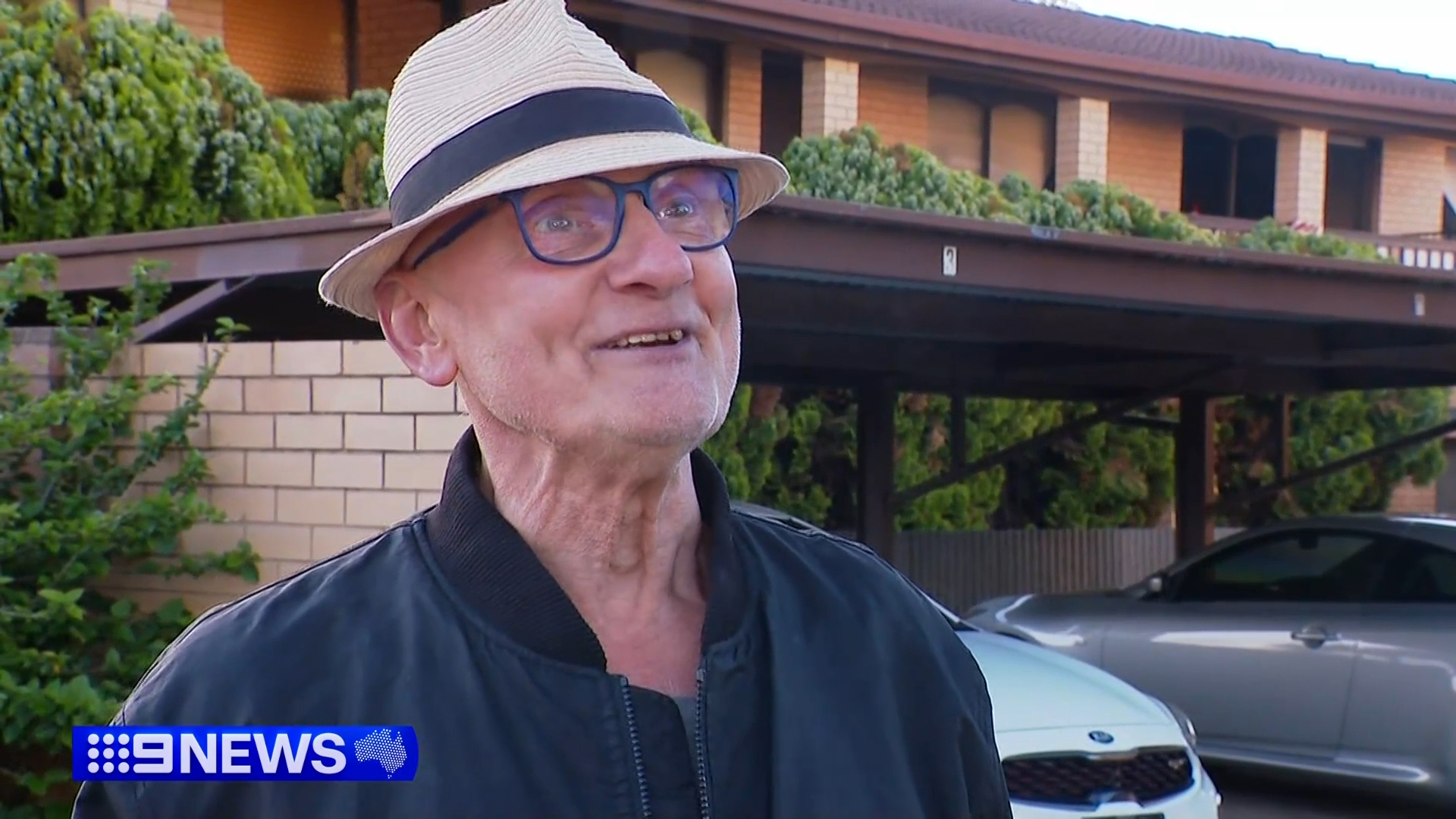 Hero resident helps apartment complex evacuate during 4am fire
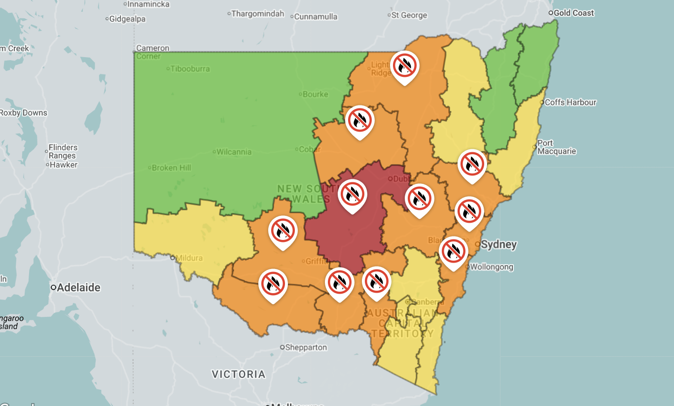 Catastrophic fire danger warning issued for parts of NSW ahead of hot, dry and windy conditions
 Man dresses as dead mother in Mrs Doubtfire scheme to collect pension
 Thousands of Aussies will lose their data in a matter of weeks
 Brothers discover comic book worth $14.1 million in late mother's home
 Macquarie Dictionary reveals its word of the year
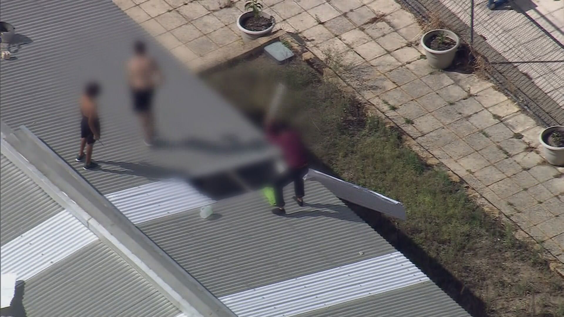 Youths removed from detention centre roof after 18-hour stand-off
 French traveller stuck in Malaysia in attempt to make it to Australia without flying
 Why the crypto market is crashing
 New push for judges to release Epstein jury transcripts