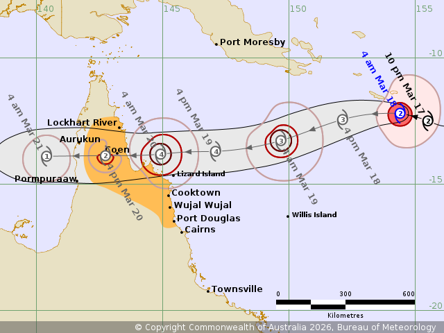
The Bureau of Meteorology's category 4 forecast of the storm may reach a category 5 before it approaches Cape York on Friday.
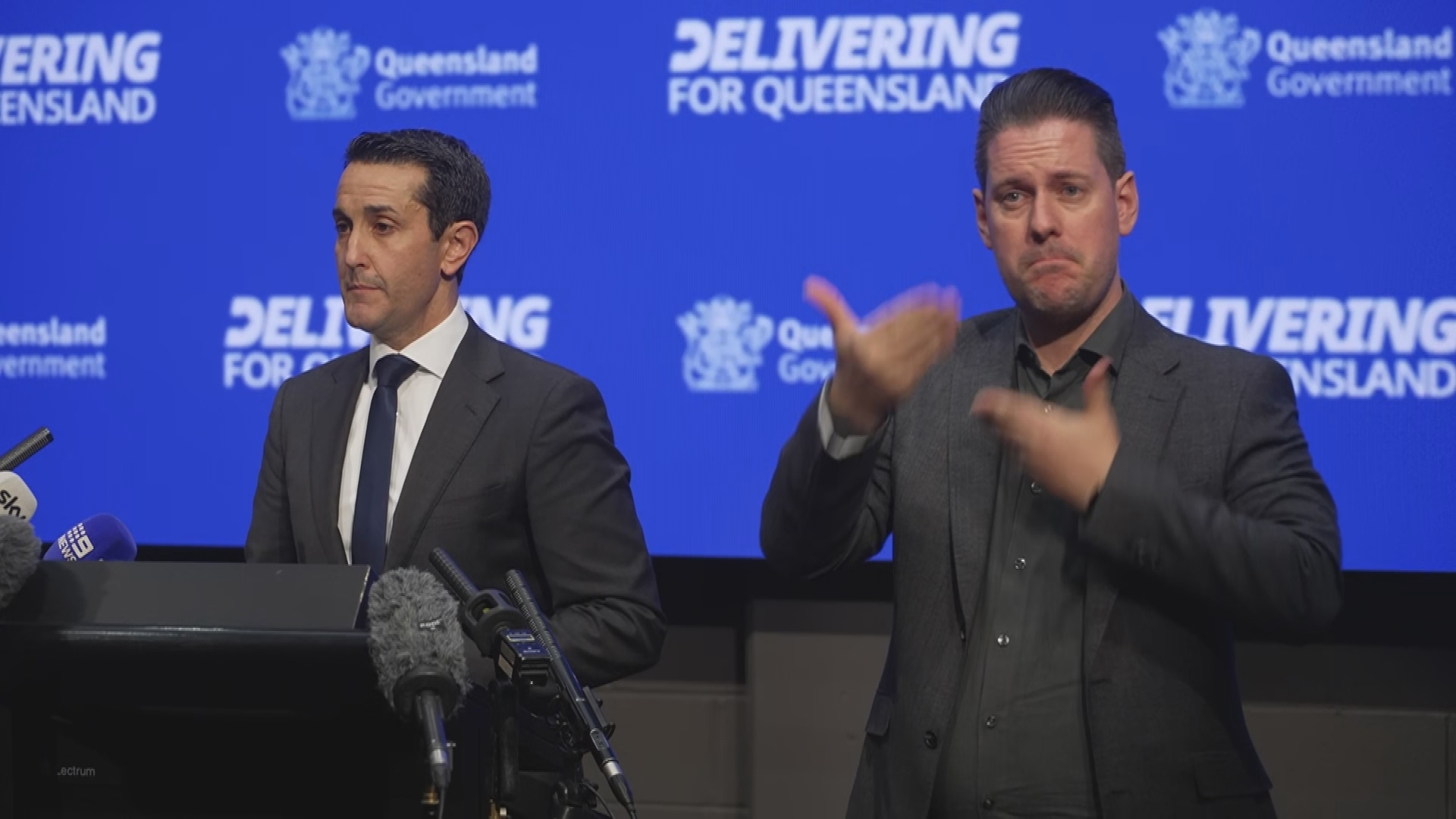
The Queensland Premier has warned that the window to act is closing as the state's far north braces for a triple-whammy of destruction with Tropical Cyclone Narelle rapidly approaching.
The Bureau of Meteorology has forecast the category 4 storm to strike the coast on Friday, after last night declaring that the low-pressure system had developed in the northern Coral Sea and was steadily moving west.
The arrival of cyclone is expected to dump heavy rain between Cape Melville and Port Douglas from Thursday evening, triggering a flash flooding alert for residents in the region.
Huge tides are also forecast to batter the coast, with the Bureau of Meteorology saying there is a risk that "tides may approach the highest of the year during Friday".
LIVE: Trump lashes out at Australia, allies over lack of help
"Narelle is expected to move steadily to the west and approach the far north-east Queensland coast between Lockhart River and Port Douglas. A severe impact is likely late in the week," the bureau said.
The Bureau of Meteorology's category 4 forecast of the storm may reach a category 5 before it approaches Cape York on Friday.
Premier David Crisafulli provided an update on the "serious situation" set to batter the state's far north, describing it as an "evolving" situation and urging locals to prepare.
"This is a part of the state that knows how to handle disasters," he said.
"I want the communities to know how seriously we've taken getting ready and how seriously we are asking the community to do so as well.
READ MORE: Government won't rule out fuel rationing as war drags on
"The situation is evolving, and it is a serious situation. The window to act is obviously closing.
"There is the real prospect that it will remain a cyclone as it crosses what is a very narrow part of the state.
"We're asking communities to prepare for waves, for wind, for rainfall, for flooding."
"This may be the biggest system that many people have seen in living memory."
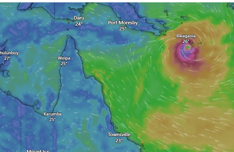
Bureau of Meteorology Senior Meteorologist Sue Oates said that the cyclone will bring "severe impacts to Far North Queensland in the coming days" as it continues to intensify and barrel towards the state.
"It's likely that we will have a severe tropical cyclone by this afternoon that's a category 3 system, with further intensification during Thursday and into Friday morning.
Oates warned that on Thursday, the cyclone could bring winds of up to 155km/h.
These gusts could increase to up to 250km/h as the cyclone crosses the coast on Friday morning.
State disaster expert Chris Stream said that Far North Queensland has not seen a cyclone of this intensity "for some time" and warned locals to prioritise their safety over a viral moment.
"This is not the opportunity for you to be outside during the cyclone, getting that TikTok moment. "
The bad weather should stay offshore until at least Thursday, meteorologist Dean Narramore said earlier.
"As the tropical low and developing cyclone approach far northern Queensland through Thursday and Friday, those winds will begin to turn more east-south-easterly.
"That will allow rainfall and winds to increase, particularly north of around Townsville and especially along parts of the north tropical coast from Thursday night into Friday.
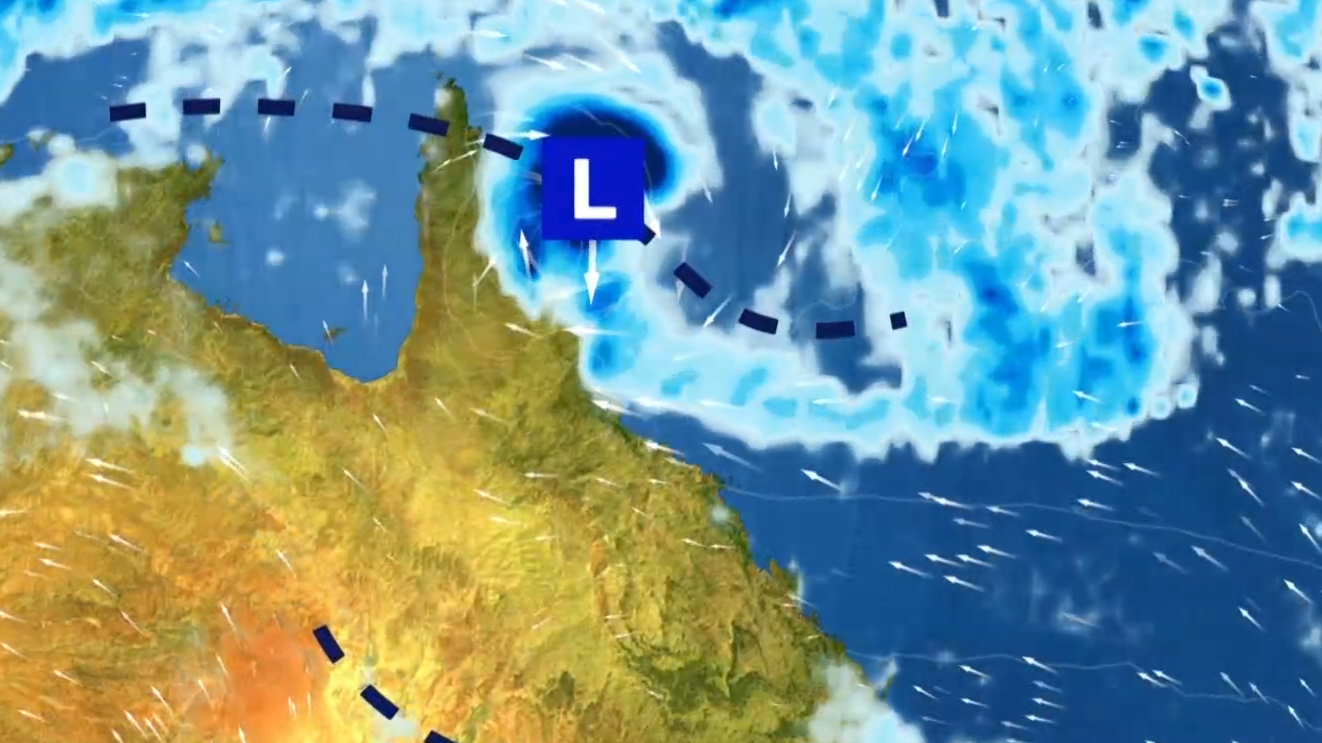
Once the system crosses the Queensland coast, it is expected to move out into the Gulf of Carpentaria over the weekend and possibly over towards the Top End.
People in the region are advised to stay up to date as the intensity and forecast track map of the system is still unclear.
Flood watches are in place for many areas of far northern Queensland and more widespread heavy rainfall is expected.
NEVER MISS A STORY: Get your breaking news and exclusive stories first by following us across all platforms.
- Download the 9NEWS App here via Apple and Google Play
- Make 9News your preferred source on Google by ticking this box here
- Sign up to our breaking newsletter here
 Dire warning about war's impact in Australia
 Chilling prediction of 'slaughter' in diplomatic cables
 NSW government paid $700 to get serial killer out of home with foster children
 Ex-NRL star has 'come to Jesus' moment after alleged attacks on teen and cop
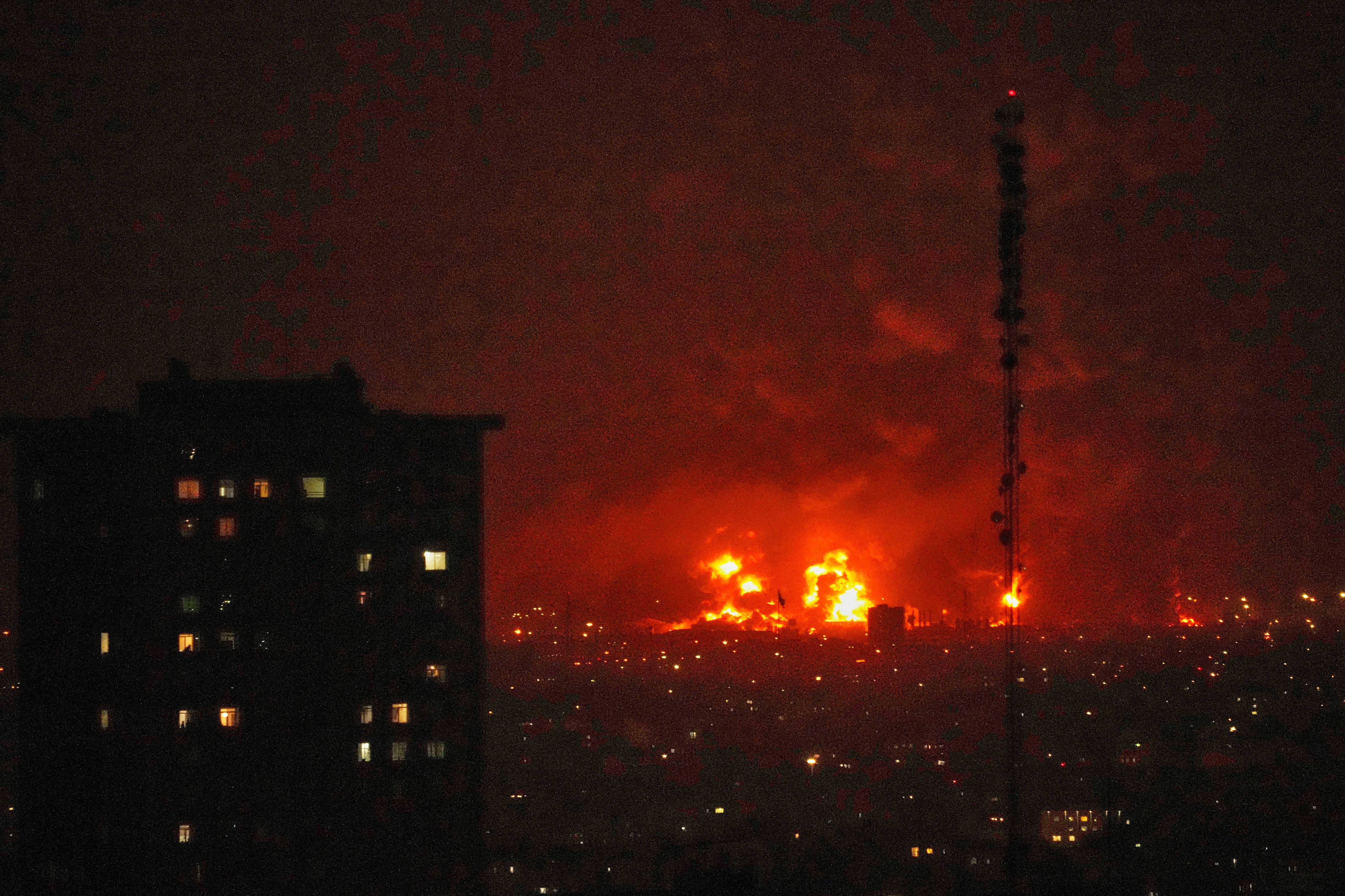
 Australian troops safe after Iranian missile strikes near UAE base
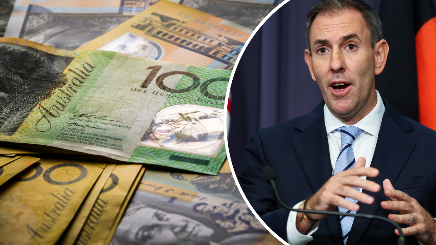 With one sentence, treasurer drops major hint on $22 billion tax overhaul
 Australia's most valuable company names new CEO
 CCTV captures the moment man shot outside Melbourne cafe
 Top tip to save on fuel in Australia's fuel crisis
 Trump berates allies as he finds himself alone on Iran war
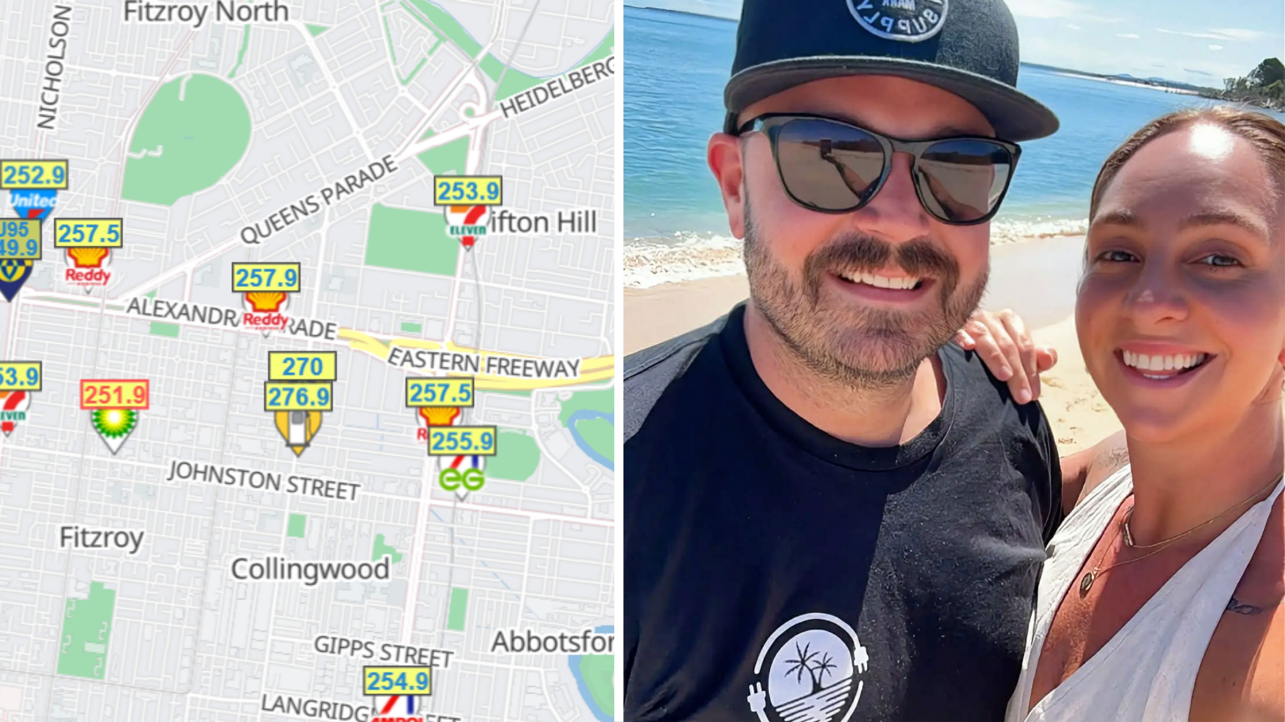 Couple's $800 headache at the bowser as price hikes hurt caravan owners
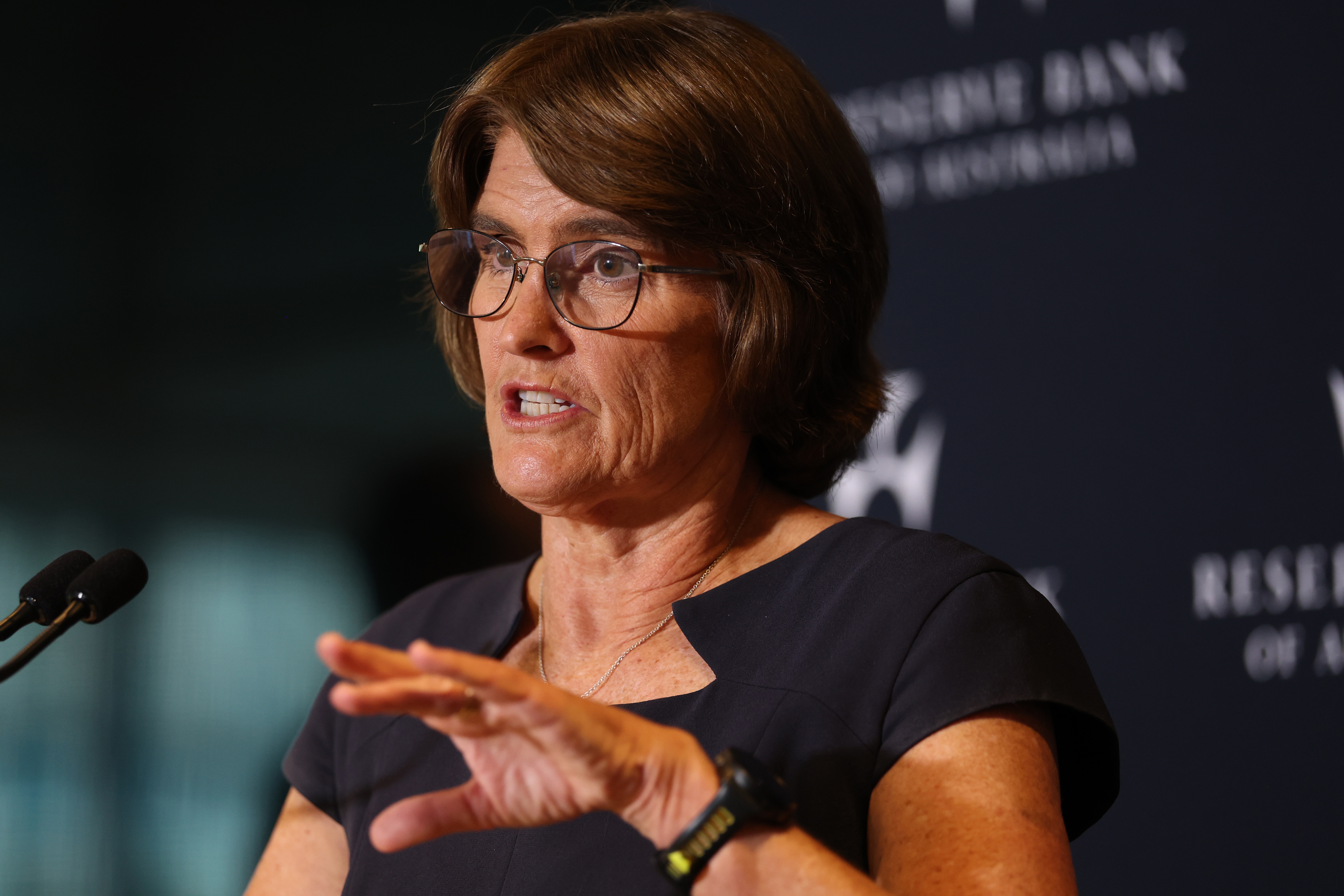 'Global recession risk': The danger on the flipside of the RBA's rate hike
 Average Aussie household almost $75 a week worse off than six weeks ago
 Man charged after ute filmed screaming down Melbourne street on rims
 The Reserve Bank has hiked interest rates again. How much will this cost me?
 Alleged Bondi shooter's family 'fearful' and at risk of being killed, court told
 Woman charged with murder a month after woman found dead in Ipswich home