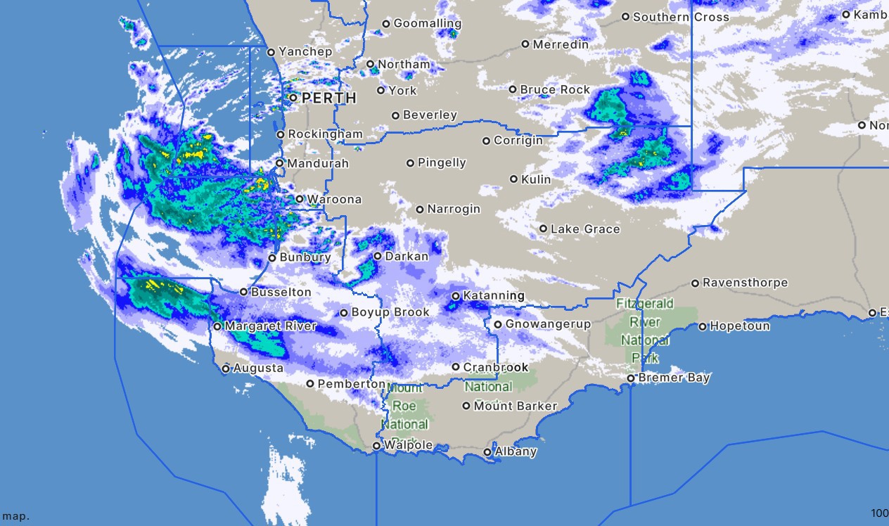
The storm will be at its harshest early this morning, and will ramp up again tonight.
A once-in-five-year storm is due to hit Perth today, with heavy rain already drenching parts of Western Australia.
The Bureau of Meteorology warns the city will be hit by the worst of the weather early in the morning and also in the evening, as the city could face 30mm of rain and severe thunderstorms.
The wind is expected to be at its peak about 7pm, with gusts potentially reaching 90km/h in Perth.
READ MORE: Man hit twice by car during alleged wild brawl on Melbourne footpath
Wind gusts of up to 125km/h are forecast today across the state, bringing a risk of tornadoes, while severe thunderstorms are also predicted with up to 60mm of rainfall.
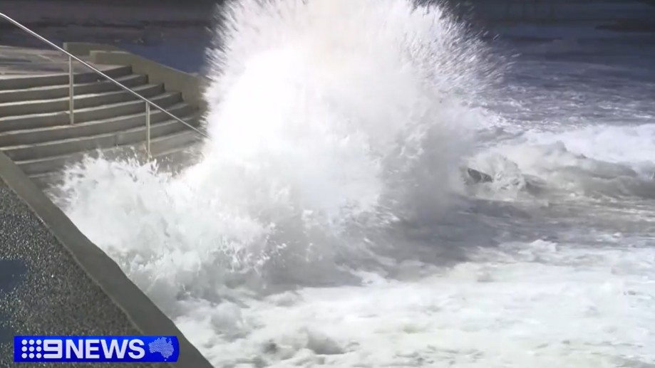
Authorities warn this could cause flash flooding, and waves that could reach more than eight metres.
The massive storm put the coastal town of Lancelin on high alert, as huge swells threaten to breach its already eroded coastline.
The Lancelin Sands Hotel owner Glenn Trebilcock took matters into his own hands today, loading 25 tonnes of sand into bags.
READ MORE: Monster fish caught off South Australia
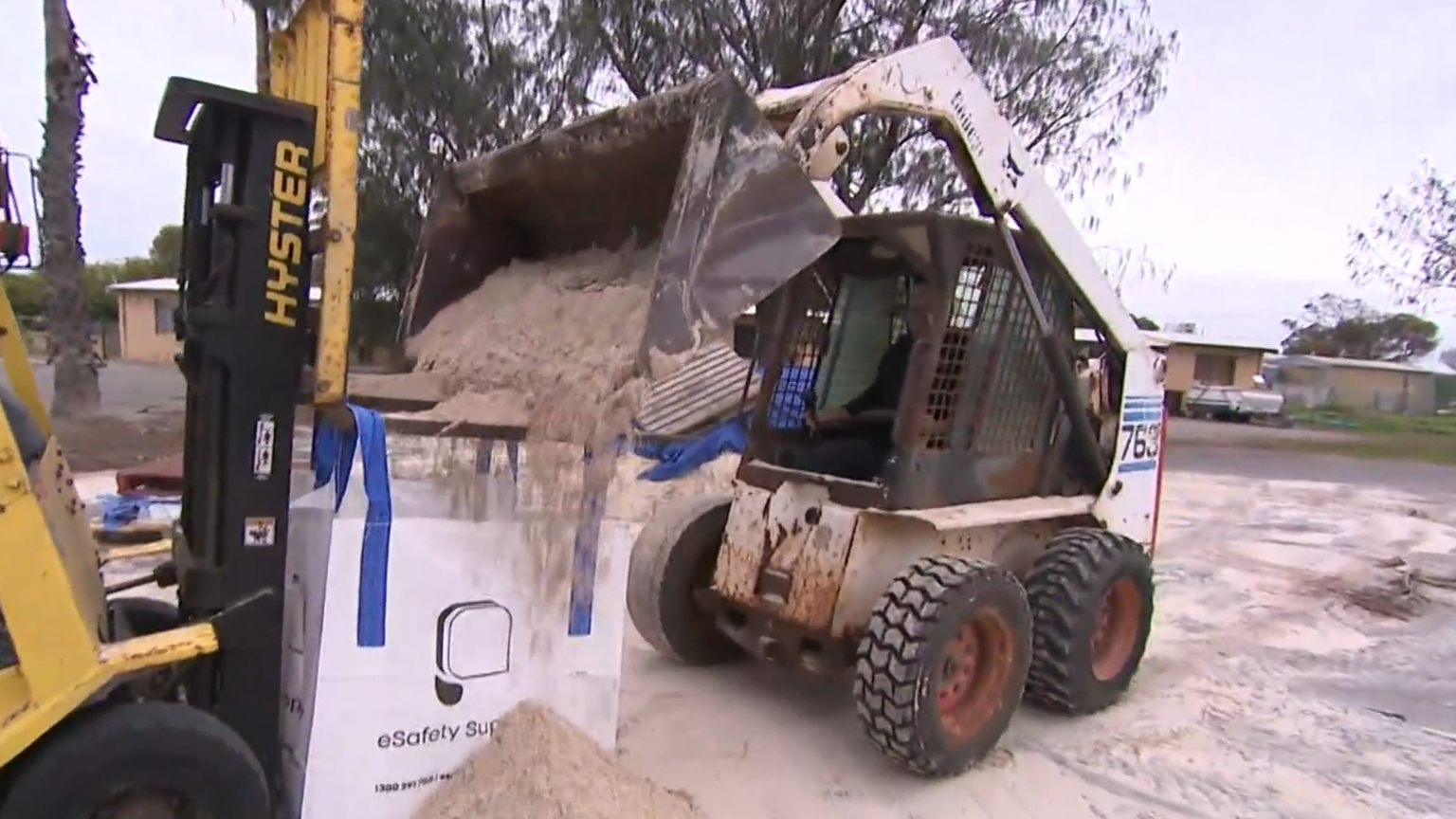
"We'll basically crane them over the side and drop them down, put them in place," Trebilcock told 9News.
His hotel sits just metres from the ocean, along a stretch of coastline already scarred by erosion.
"We lost 35 metres last year and already so far this year we've come close to about 10 metres that we've lost," he said.
It's not just Lancelin on edge - coastal communities from Kalbarri to Esperance are bracing for huge swells and potential flooding as the storm bears down on WA.
The impacted area may expand over the weekend as it's an "evolving weather situation", according to the Bureau of Meteorology (BoM).
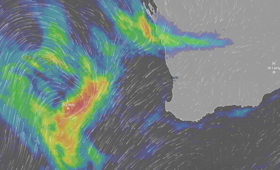
According to Weatherzone, the severe weather is being caused by a rapidly deepening low pressure system known as a "bombing low".
"For southwest WA, this means a rapidly worsening spell of weather through the weekend, with damaging to destructive winds, heavy rain, thunderstorms, large surf and hazardous marine conditions likely before the low shifts away early next week," they said.
READ MORE: Man beaten and left for dead after asking partiers to turn down music
Across the state, operators are taking no chances over the forecasted conditions, with Rottnest ferry services cancelled today.
Several campgrounds have been closed but others are open and some campers are choosing to stay at their own risk.
Meteorologist Ilana Cherny said there will likely be a second burst of "very strong winds" with a risk of locally destructive gusts across Sunday evening into Monday morning for communities from Lancelin to Albany.
READ MORE: Professor Richard Scolyer's wife shares sad update
Severe thunderstorms could also develop through the central west and extending through to the lower west.
"In addition to those winds and rain which we could see with the thunderstorms, we may also see some very localised tornadoes, which if they develop would be very fast-moving and short-lived."
The message from authorities is to secure loose items, stay away from dangerous surf and check in on vulnerable neighbours as the system moves through.
 Aussie diver on 'pretty full on' operation to free villagers trapped in Laos cave
 Man charged after wild brawl at Sydney soccer match
 Retiring police officer the target of man's car, court hears
 Man hit twice by car during alleged wild brawl on Melbourne footpath
 Rescuers free four men who had been trapped in a flooded Laos cave
 Taylor fires up party faithful after Abbott's presidency
 Professor Richard Scolyer's wife shares sad update on his brain cancer battle
 Man charged after alleged arson attack destroys three homes
 First home deposit scheme backfires as house prices tumble
 Man beaten and left for dead after asking partiers to turn down music
 Vivid Sydney show scrapped for good after drone chaos
 Thieves ram ute into shopping centre, steal ATM in wild CCTV footage
 It was supposed to keep kids safe. Nine.com.au readers say it's not working