The potentially incoming weather event could develop stronger than originally thought.
New forecasting suggests a rare super El Niño could form within months and cause dry and extreme weather conditions across the world.
A relatively weak La Niña is currently on the way out and most experts believe an El Niño could arrive by winter.
Now, national and international weather agency data show that it could develop stronger than originally thought.
READ MORE: Vulture waits in background of deeply confronting photo
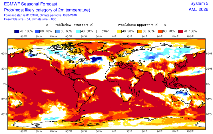
https://x.com/Weather_West/status/2029694752199754045The European Centre for Medium-Range Weather Forecasts is anticipating El Niño to reach between 1.3 and 3.1 degrees above the average sea surface temperature.
If it forms at more than two degrees above average, this could create a "super" event.
A super, or very strong, El Niño event can cause catastrophic global weather and is associated with drier and warmer conditions in Australia.
These are considered rare and typically only occur every 10 to 15 years.
Australia has only been affected by three super El Niño events since 1982, with the most recent in 2015.
While it is still too early to predict an El Niño, Australian and US modelling also point to an El Niño developing in unusually warm waters.
The US National Oceanic and Atmospheric Administration said there is a one-in-three chance that the likely El Niño will be strong later this year.
"Even though model forecasts are relatively less accurate this time of year, the increasing odds of El Niño are supported by the large amount of heat in the subsurface ocean and the expected weakening of the low-level trade winds," it said in its latest update.
"If El Niño forms, the potential strength remains very uncertain, with a one-in-three chance that it would be 'strong' during October-December 2026."
READ MORE: What nation's youngest murderer asked a stranger
The Bureau of Meteorology did not speculate on the strength of the El Niño but has forecast warmer-than-average sea temperatures in eastern and southern parts of the country from April to June.
Up to three degrees warmer than average temperatures are anticipated for the western Tasman Sea.
"All models indicate a shift to El Niño is possible by the end of winter, however there is variation on the timing of this transition, with some suggesting development as early as May, while others delay onset until late winter," the Bureau of Meteorology said.
Weather and climate expert Ailie Gallant said the strength of the event will not be clear until around June.
"The European models and the US models and the Australian models at this stage are all forecasting for the central and eastern Pacific to be warmer than normal," the Monash University Centre of Excellence for Weather of the 21st Century's associate professor said.
"But there's this thing in climate science called the autumn predictability barrier, which tells us that what we forecast from February through to May is very uncertain.
"So while the tendency is in that direction, being able to say right now whether it will be a weak El Niño or a super El Niño is very premature."
READ MORE: Inflation eases slightly but more price pain expected to hit Aussies
El Niño, La Niña and neutral are all stages of the El Niño–Southern Oscillation climate cycle, which is an atmosphere and ocean phenomenon in the Pacific that occurs every three to eight years and disrupts weather patterns around the world.
El Niño is linked to drier conditions, while La Niña is associated with wetter conditions.
Gallant said these cycles only form part of the story, and other weather events like cyclones and tropical lows also impact conditions.
"El Niño tips the scales towards being drier in the east, but individual weather systems can change that on a dime," she said.
"We've had plenty of examples where El Niños have been very, very dry, but we've also had plenty of examples where El Niños have been much wetter than expected."
Last month, meteorologists began forecasting that a weak spell of La Niña that started in November is coming to an end.
The last El Niño event formed in 2023 for the first time in eight years and on the back of a triple La Niña from 2020 to early 2023.
NEVER MISS A STORY: Get your breaking news and exclusive stories first by following us across all platforms.
- Download the 9NEWS App here via Apple and Google Play
- Make 9News your preferred source on Google by ticking this box here
- Sign up to our breaking newsletter here
 PM expertly dodges uncomfortable question as oil prices rise again
 NAB announces 170 more job cuts, creating more roles overseas
 Why some Aussies are still clocking on a decade after 'retirement'
 Islamic State speech 'likely inspired' alleged Bondi shooting, terror experts say
 Cyclone Narelle strengthens to category 4 as residents brace for impact
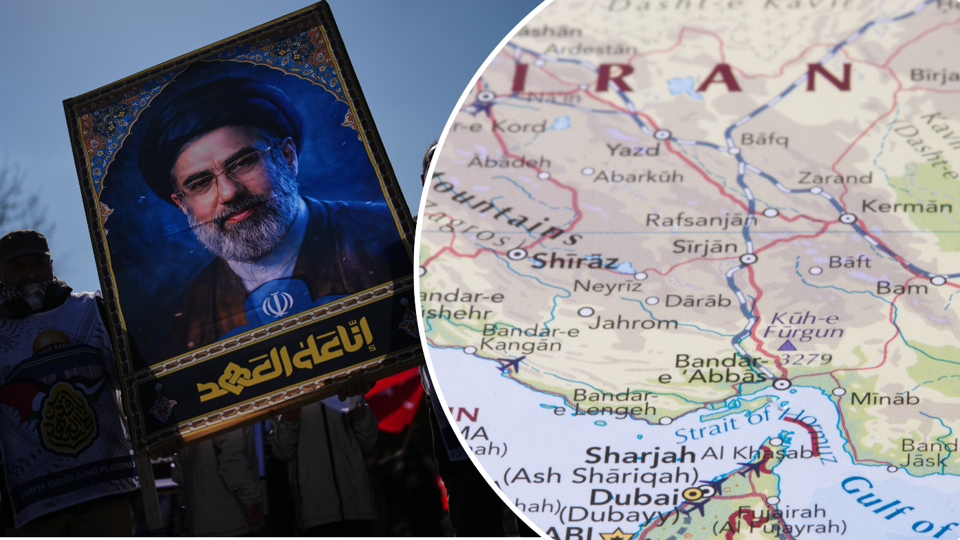
 Ground invasion of Iranian island a 'mistake', says expert
 Estranged wife of Sydney dentist shot dead by police reveals abuse
 Sydney teacher charged after allegedly posing as teenager to groom 14-year-old girl
 Iranian ally could cause chaos if drawn into the war
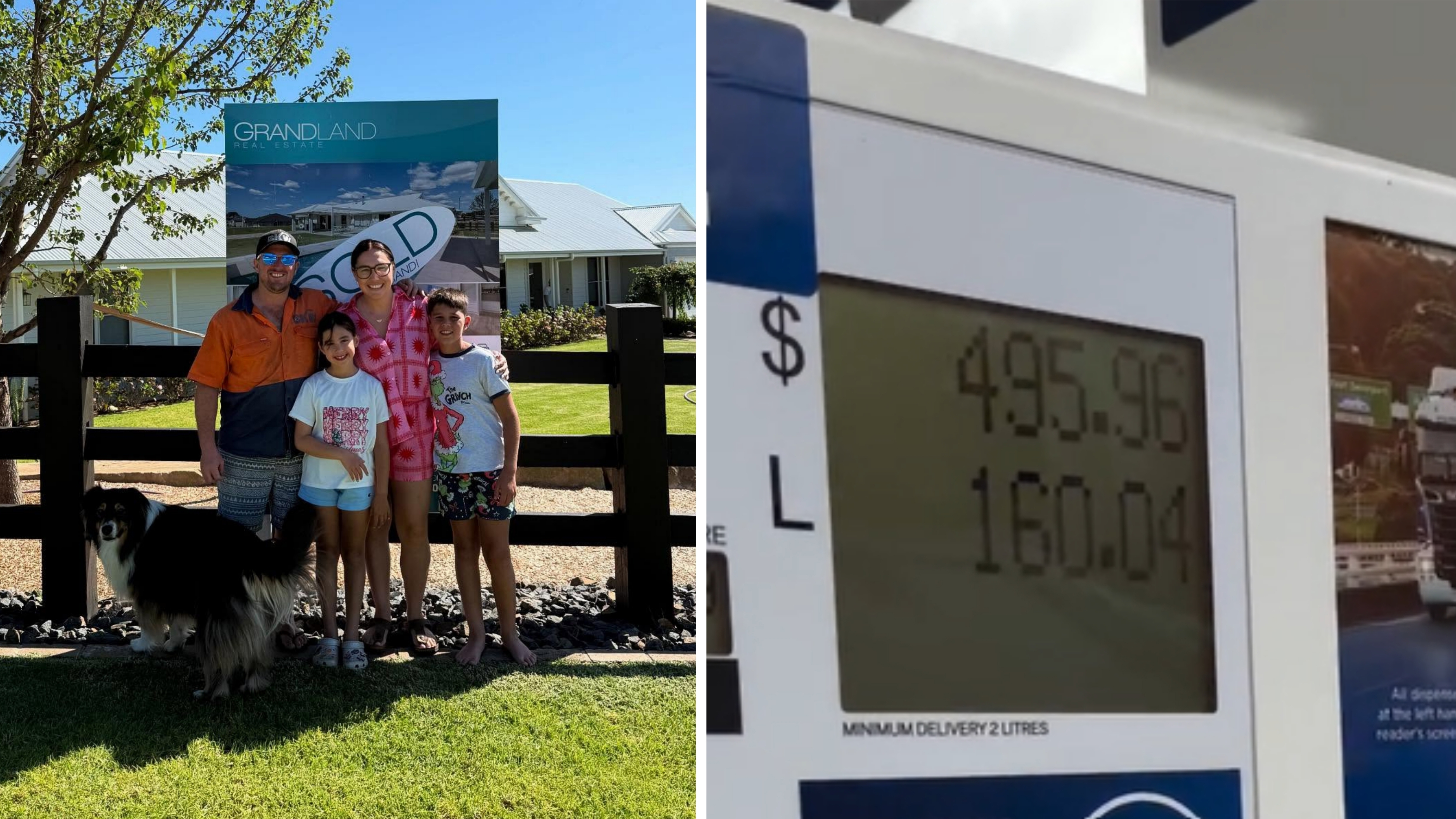 Travelling family left blindsided by $500 tank of fuel
 Truckie left stranded twice on remote highways as diesel runs dry
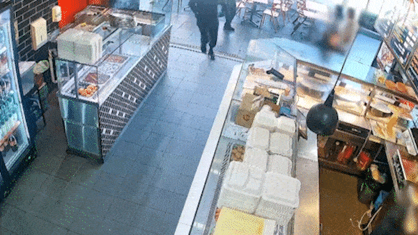 Police release footage of the moment men storm Sydney kebab shop in shooting
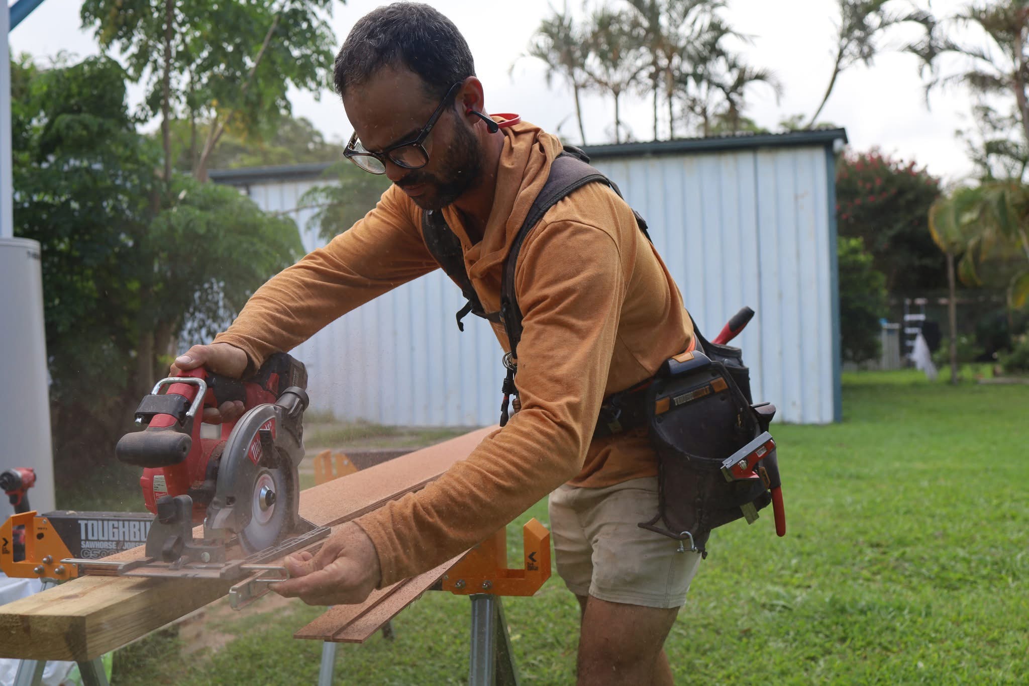 Tradies hit hardest by fuel crisis forced to raise prices or go bust
 'My kids' lives mean nothing': Mum sobs as 'callous' driver jailed
 Identity of 'major player' charged with Sydney grandfather's murder revealed
 Iran looking to turn Strait of Hormuz into massive toll booth
 'They're screaming out for it': Hanson's warning after election shock
 Sydney Opera House sails light up to mark 50 Years of Apple
 Trump on shaky ground after Democrats win Mar-a-Lago seat