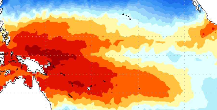
Millions of people are being warned to expect another burst of heavy rain and potential flooding over coming hours.
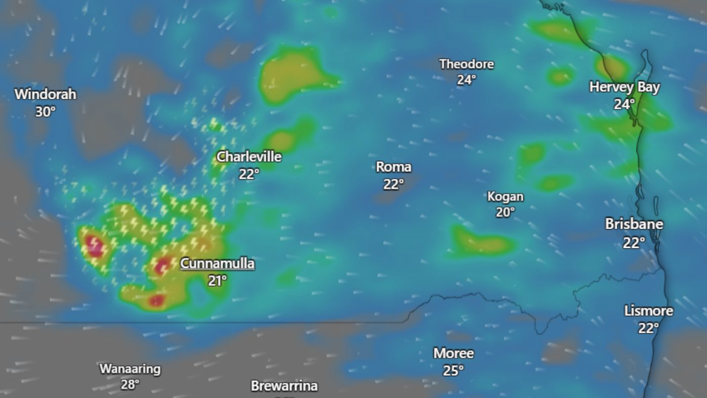
Residents across Queensland are being warned today to expect another burst of wet weather, with up to 50mm of rain forecast in some parts.
The Bureau of Meteorology is forecasting more heavy falls and the risk of flooding across southern, central and northern parts of the state.
Senior Meteorologist Dean Narramore told Weekend Today this morning Brisbane and the Gold Coast are among areas set to bear the brunt over coming hours.
READ MORE: La Niña on the way out as experts flag possibility of El Niño within months
"We're going to see that rain really pick up this afternoon and this evening around the Gold Coast and of south-east Queensland.
"And that's why we're going to see the flood watches are current."
The bureau says a large trough over western, southern, and central Queensland has caused the wet conditions of past days.
The rain and thunderstorms are likely to shift north and west away from the coast into central Queensland by tomorrow.
Rapid river level rises are possible in areas that receive the heaviest rainfall.
https://twitter.com/BOM_Qld/status/2022792442076877003?ref_src=twsrc%5EtfwThe bureau warns catchments likely to be affected include the upper and lower Brisbane River, including the Bremer River, and Warrill, Lockyer, Laidley, Ipswich and Brisbane creeks.
A strong marine wind warning has also been issued today for waters in Capricornia, Hervey Bay, K'gari, and the Sunshine and Gold coasts.
NEVER MISS A STORY: Get your breaking news and exclusive stories first by following us across all platforms.
Download the 9NEWS App here via Apple and Google Play
Make 9News your preferred source on Google by ticking this box here
- Sign up to our breaking newsletter here
 Kate lost $500k on pokies. She says one radical change could 'literally save lives'
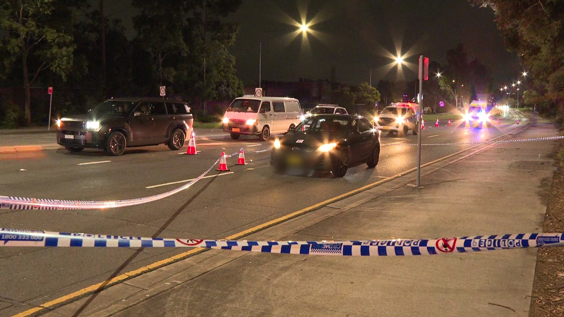
 Man charged after two women killed in crash with allegedly stolen car
 NSW to get an extra public holiday for the next two years
 Law enforcement raids in Nancy Guthrie search end with no arrests
 Milo snack bars recalled over contamination alert
 Two young men hospitalised with stab wounds in capital city
 Russia accused of killing opposition leader Alexei Navalny with 'dart frog toxin'
 Melbourne dad's life forever changed after vicious attack
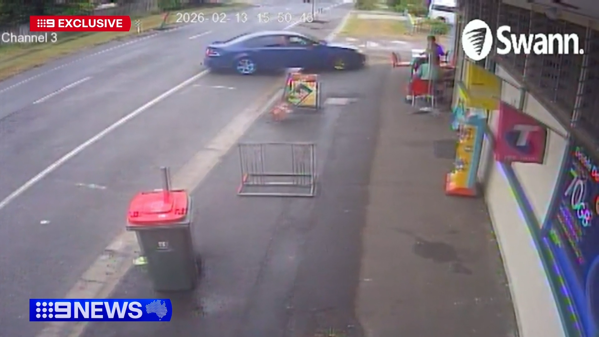 Teens pinned to wall by out-of-control car skidding into takeaway shop
 La Niña on the way out as experts flag possibility of El Niño within months
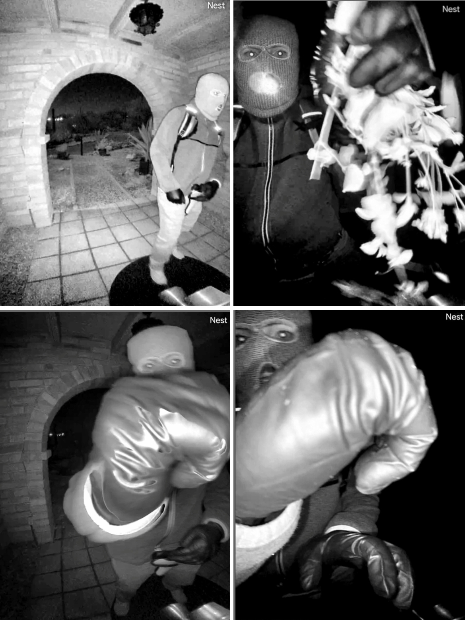 Chilling images from Nancy Guthrie's porch could hold valuable clues