Residents in parts of the Northern Territory are bracing for heavy rain this week, which could lead to flooding in some areas.
Residents in parts of the Northern Territory are bracing for heavy rain this week, which could lead to flooding in some areas.
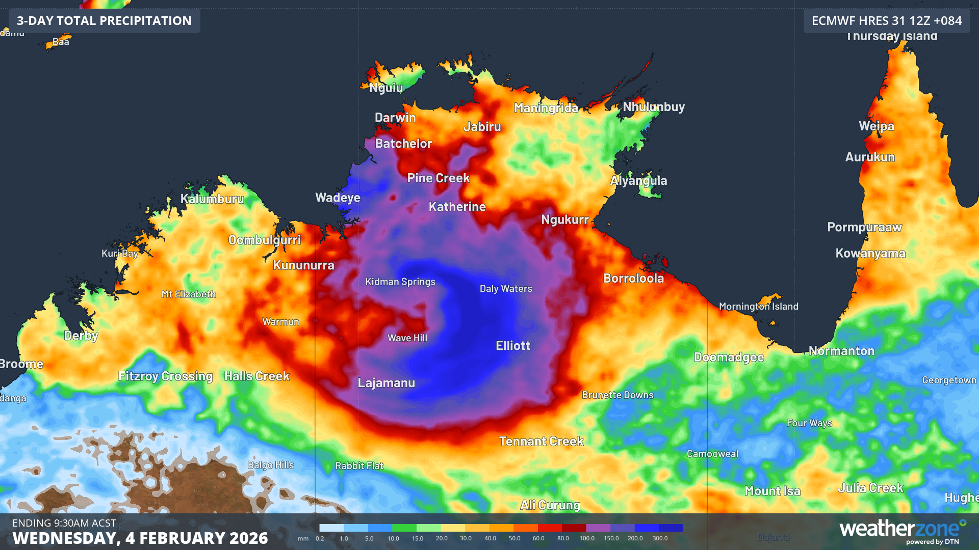
A tropical low over the central part of the territory is expected to remain near stationary over the eastern Gregory today before it slowly moves westwards tomorrow and on Wednesday.
Heavy rainfall which may lead to flash flooding is expected tonight for parts of the south-western Carpentaria, eastern Gregory, north-western Barkly and northern Tanami districts.
LIVE: Follow all the red carpet arrivals, Grammys award winners here
READ MORE: Gunshot leads police on new search for accused killer Dezi Freeman
Heavy rain is also possible today and tomorrow, with six-hourly totals between 80mm and 100mm likely and localised falls of up to 120mm.
Heavy rainfall may continue tomorrow night but is expected to ease on Wednesday morning.
Locations which may be affected include Elliott, Kalkarindji, Lajamanu, Daly Waters, Top Springs and Daguragu.
READ MORE: Nationals leader David Littleproud tipped to survive leadership challenge
READ MORE: Voters flock to One Nation as they ditch Liberals, Nationals
According to the Bureau of Meteorology, 183 mm was recorded at Gilnockie in the 24 hours to 9am today.
Residents have been told to stay up to date with the latest information on the Secure NT website.
Meanwhile, the chance of Tropical Low 21U developing into a tropical cyclone will increase this week.
The system has the potential to move offshore over waters to the north of the Pilbara, according to Weatherzone senior meteorologist Tim Woebbeking.
READ MORE: Spirits tax set to rise to almost $108 a litre in Australia
NEVER MISS A STORY: Get your breaking news and exclusive stories first by following us across all platforms.
- Download the 9NEWS App here via Apple and Google Play
- Make 9News your preferred source on Google by ticking this box here
- Sign up to our breaking newsletter here
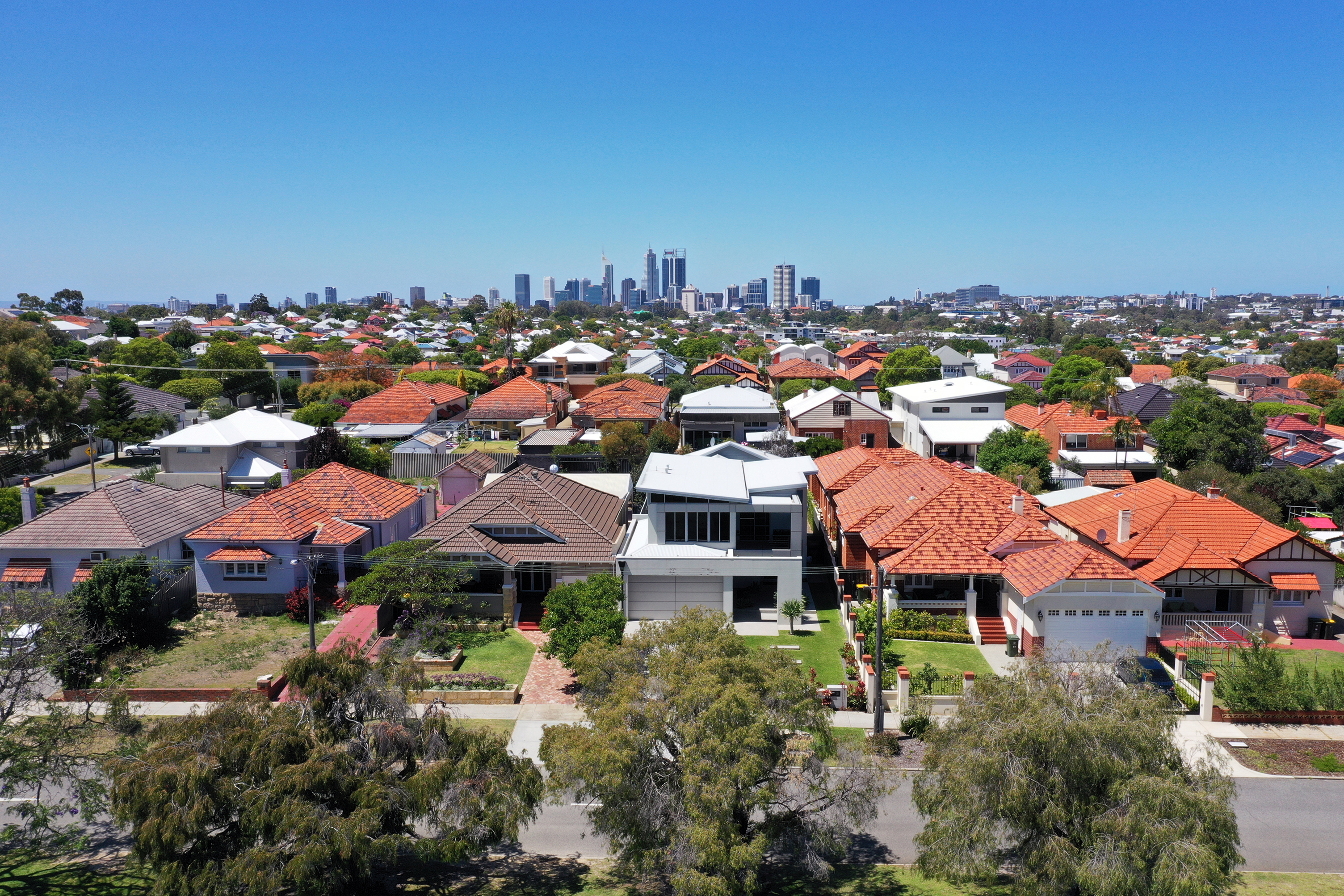 New capital joins $1 million house club
 Nationals leader David Littleproud survives failed leadership spill
 Osbournes in tears as A-listers honour Ozzy at Grammys
 Community rewards Rabbi's selfless act during Bondi terror attack
 Man, 25, charged with murder over death of newborn baby
 Accused 'Pam the Bird' graffitist to face trial
 'A warning sign': Home buyers' budgets could be cut by thousands overnight
 Australian woman dies at ski resort in Japan
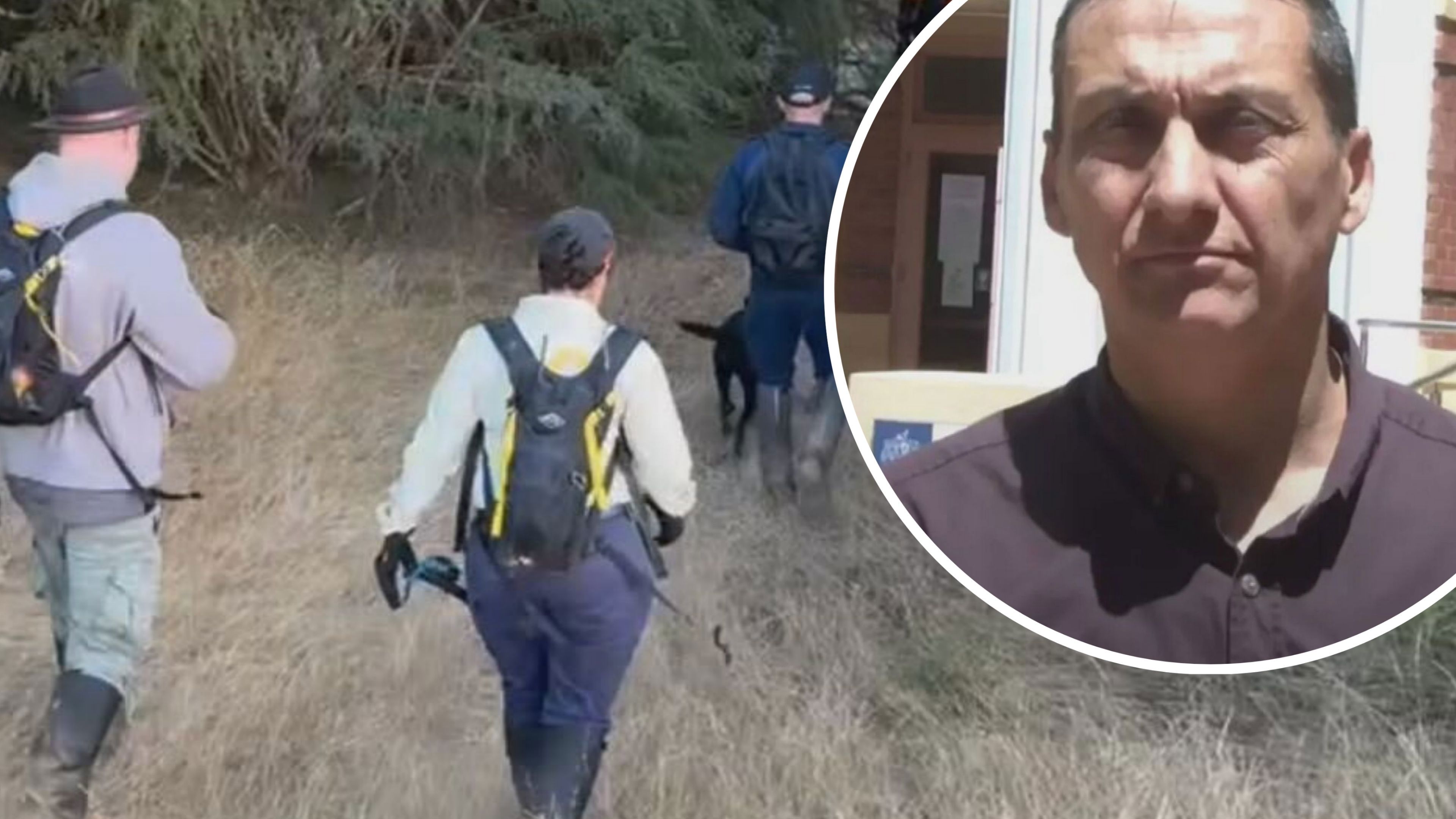 Police believe accused cop killer Dezi Freeman could be dead as fresh search begins
 ICE detained boy, 5. Judge ordered him released with scathing takedown
 Parents of Sydney Harbour shark attack victim, 12, join poignant Bondi paddle out
 'Confusion, anxiety': Expats from one country urged to check citizenship status